I’ve been pretty bad about this whole photo blog thing. I’ve got a lot of time on my hands right now so I’m going to try getting through a few adventures from the summer.

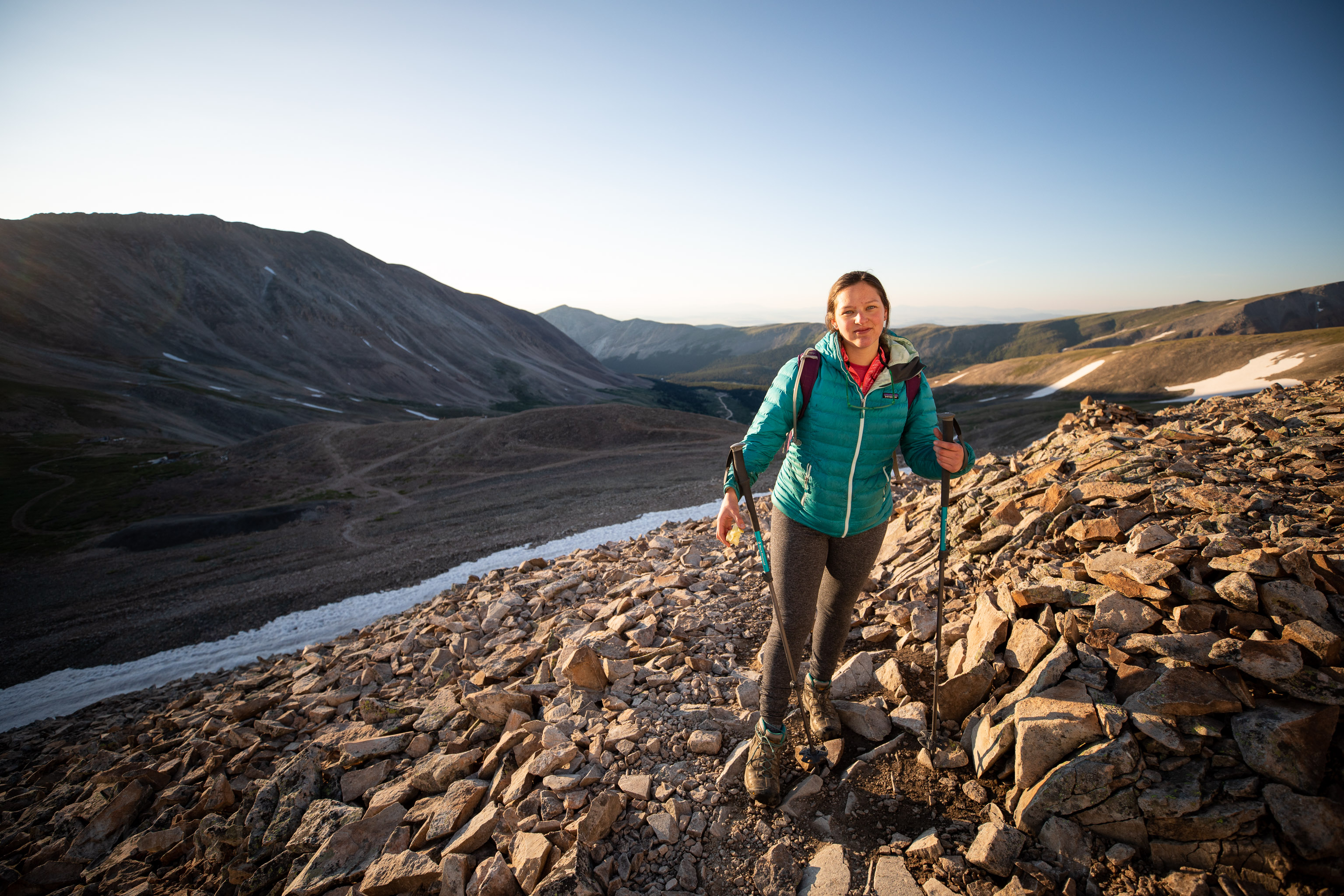
Back in July, Ariel wanted to get in a 14er before heading back to Illinois. Finally got a good weather window to sneak in a hike of Mt. Sherman, one of the easier 14ers. The SW Ridge route is only about 5-5.5 miles from the gate at 12,000ft.
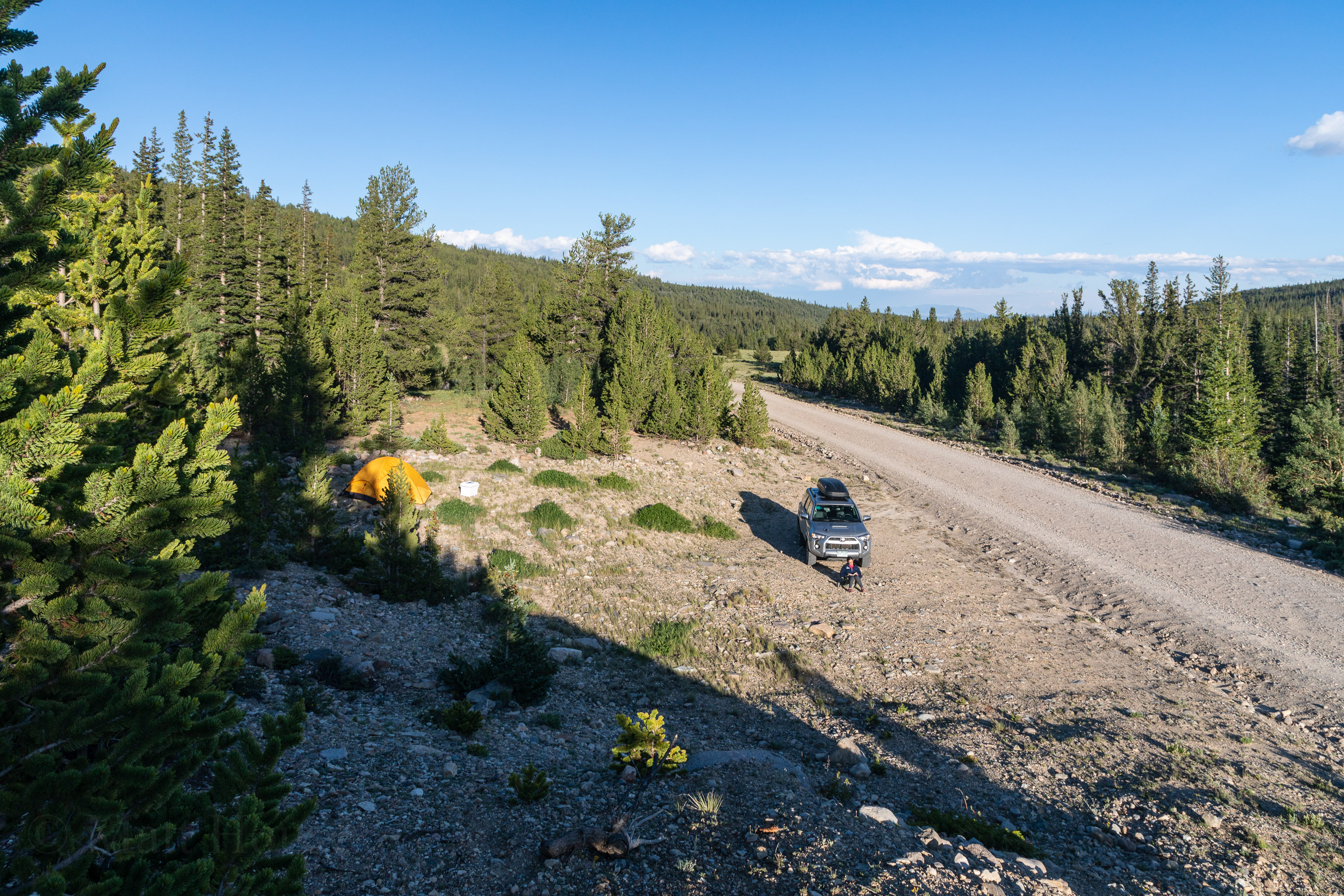
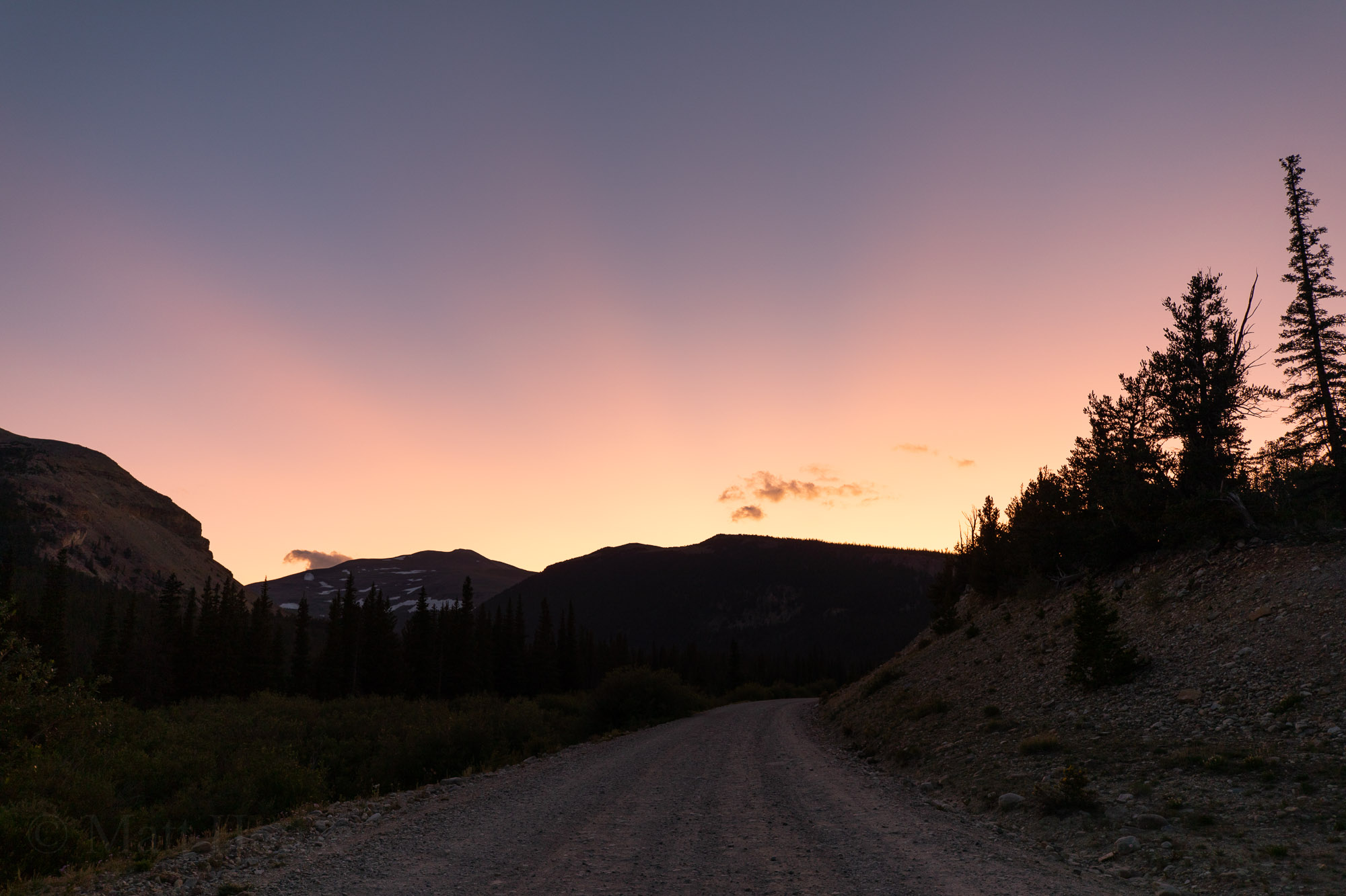
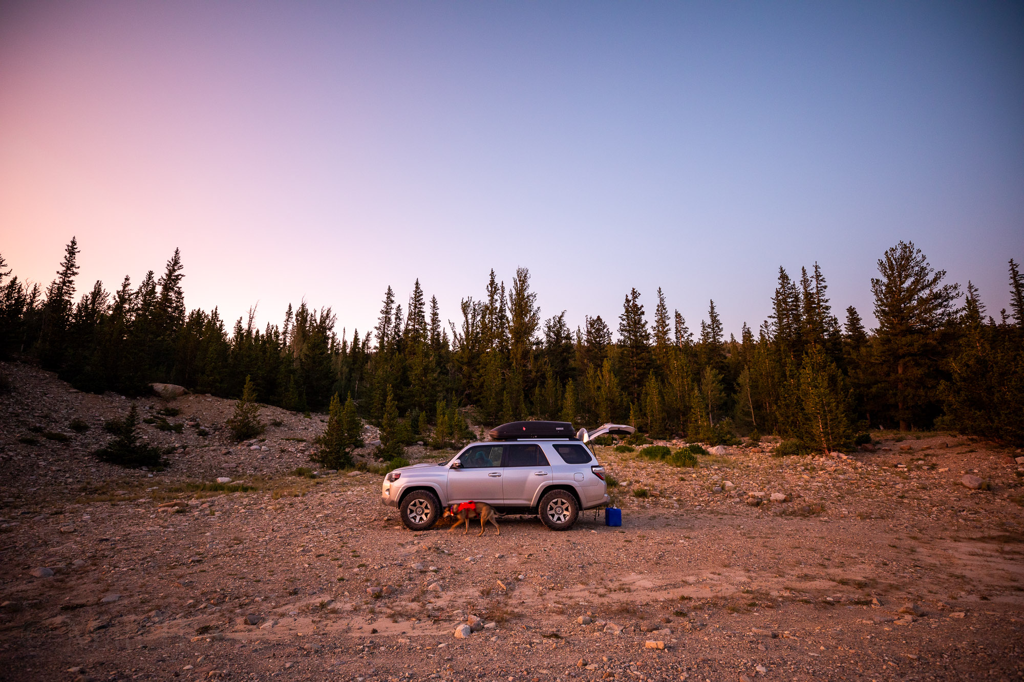
So we drove out the night before the hike and camped along the road to the trailhead. There are a couple campgrounds and some sections of dispersed camping. We just needed something quick so we could break down in the morning and hop in the car a couple more miles to the trailhead.
Due to all the beaver ponds near the road there were way too many mosquitoes. I was eating dinner walking in circles with my hood up to keep them out of my face.
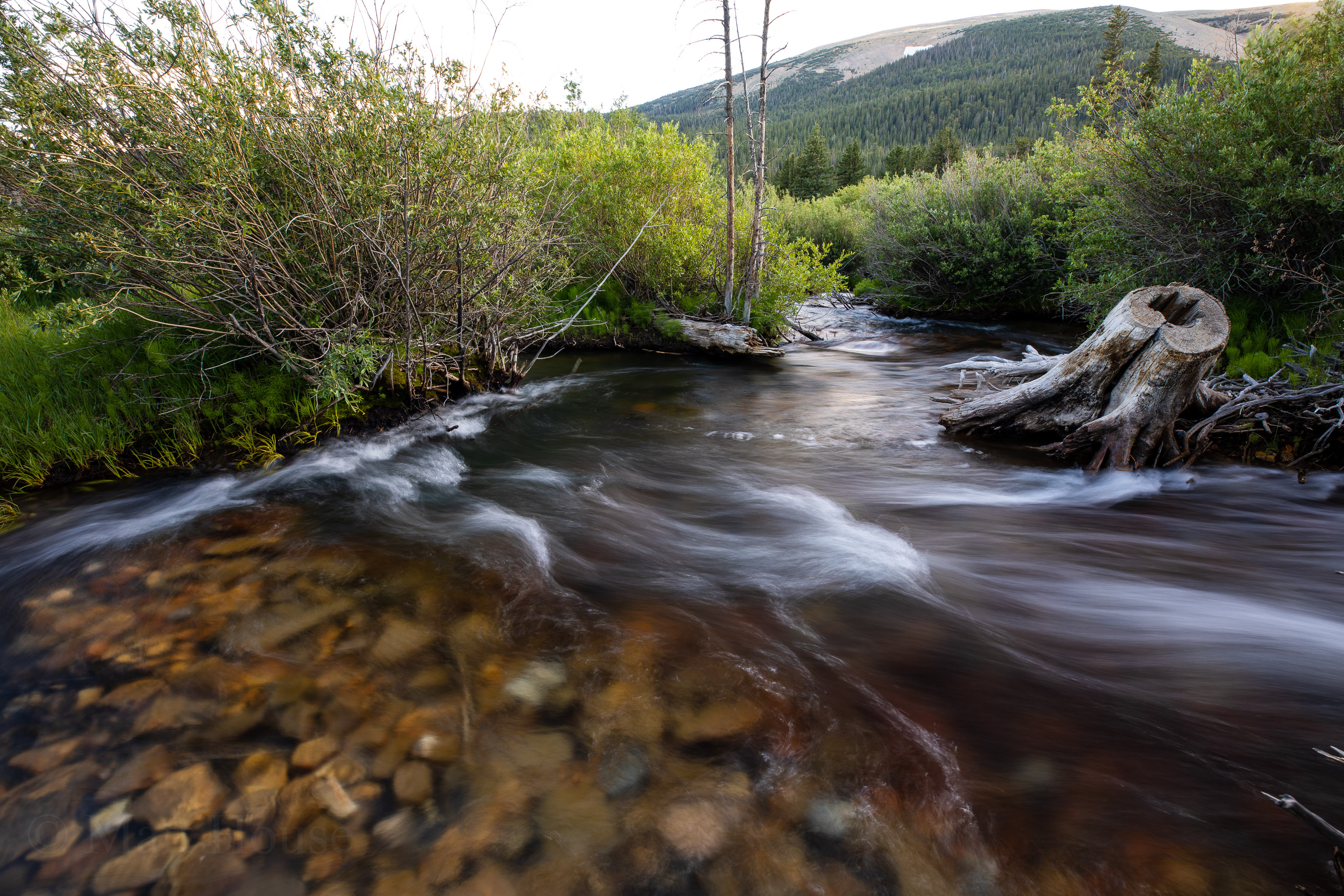
I tried fishing a little but didn’t put in too much effort. I had more success just taking photos of the creek. I haven’t done long exposure on water in a while and I forgot how cool and unpredictable it can be. Every photo is different as the water moves slightly different just about every second.
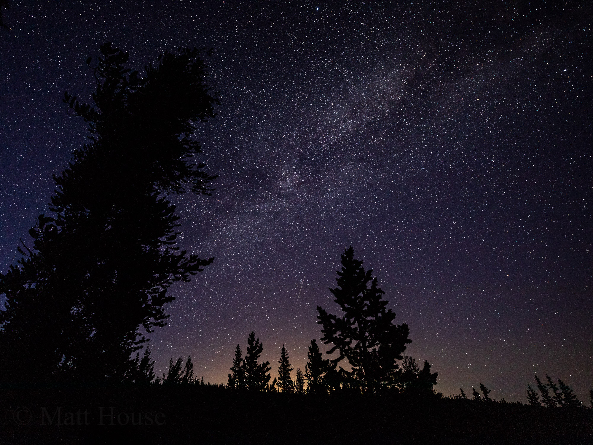
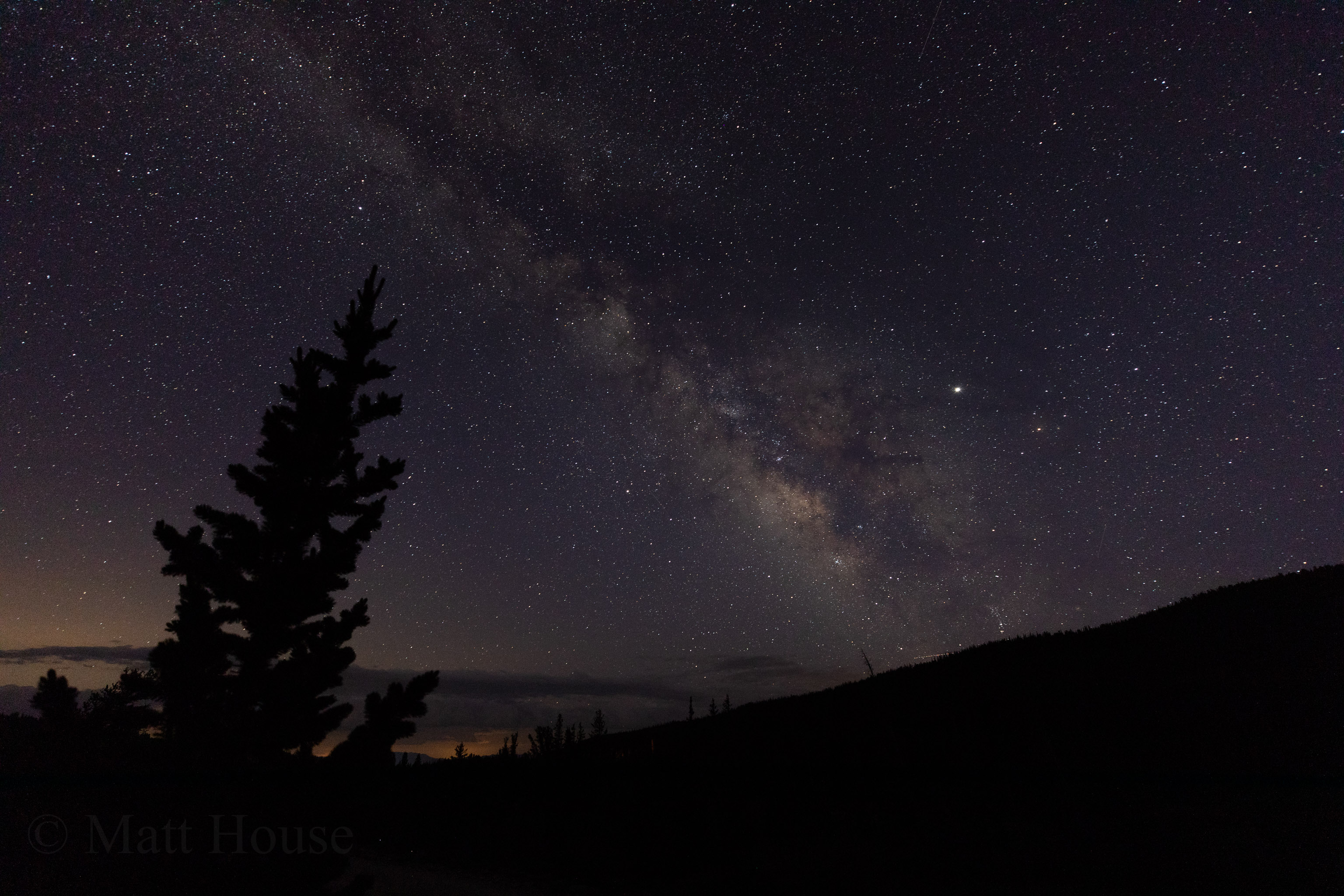
Once the sun went down Ariel went to bed but I couldn’t sleep yet. I had to stay up and take night photos since the sky was super clear. The Milky Way in summer is always a treat while out camping in the mountains.
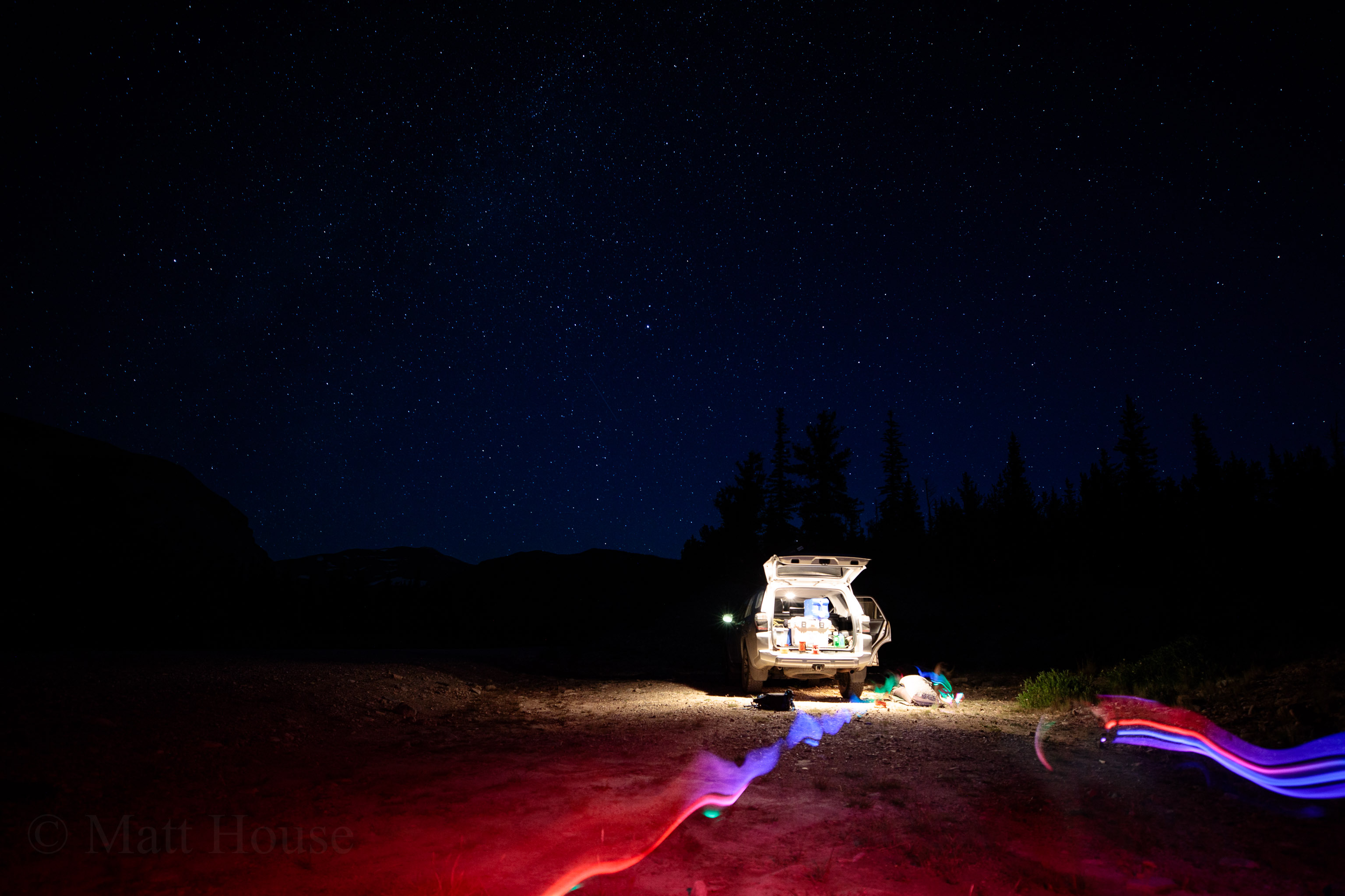
I think the alarm was set for 4am? Way earlier than I ever get up so I’m usually in a daze for a while after waking up. Break down camp quickly and pack it in the car. Eat oatmeal and drink coffee. Make sure everything is in backpacks for the hike. Oh and take a couple more star photos since it’s still super dark out.
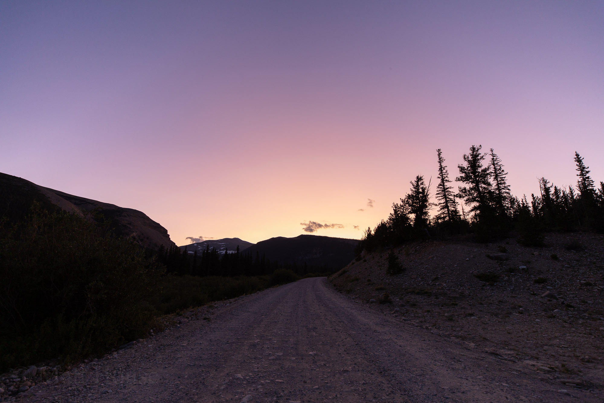
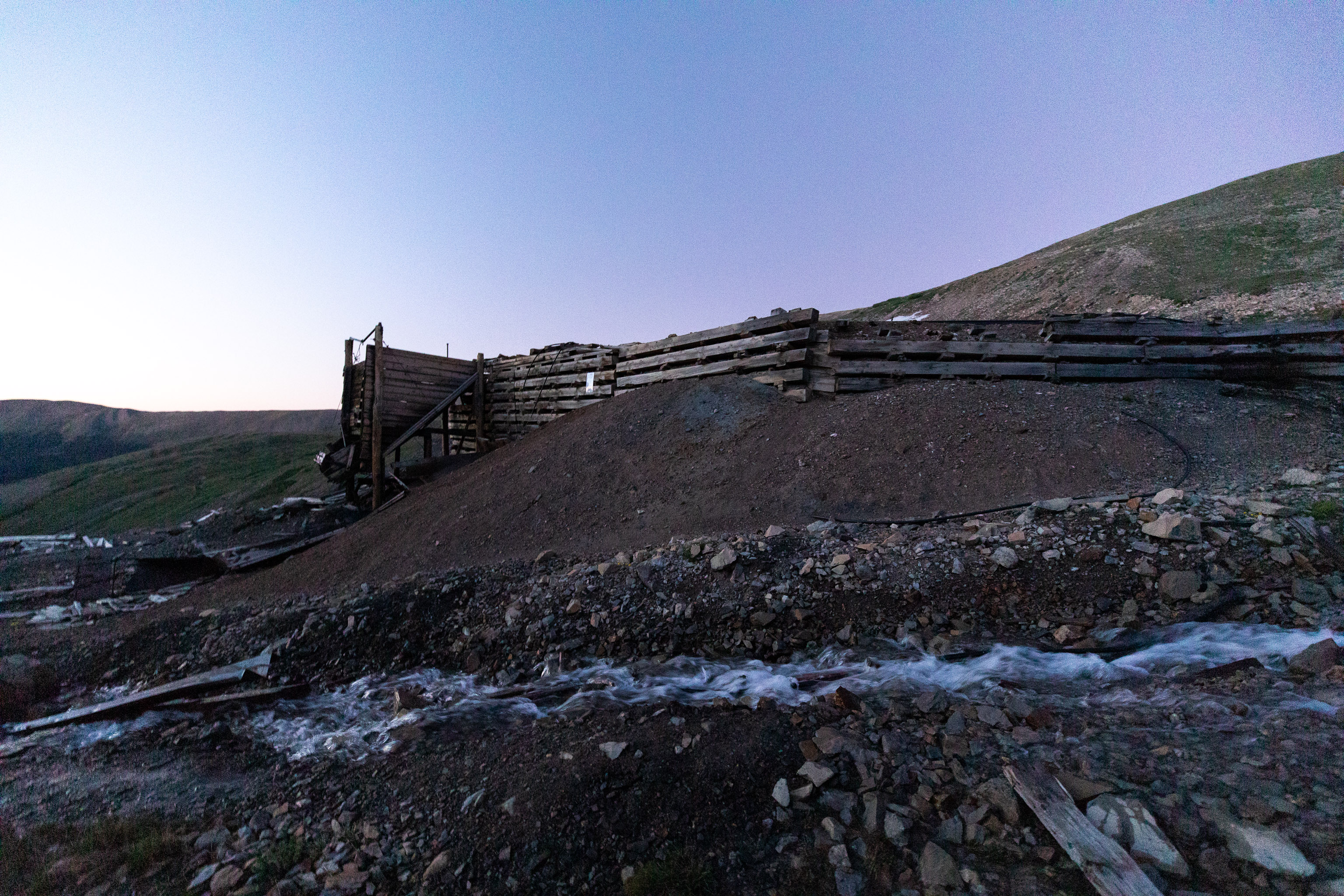
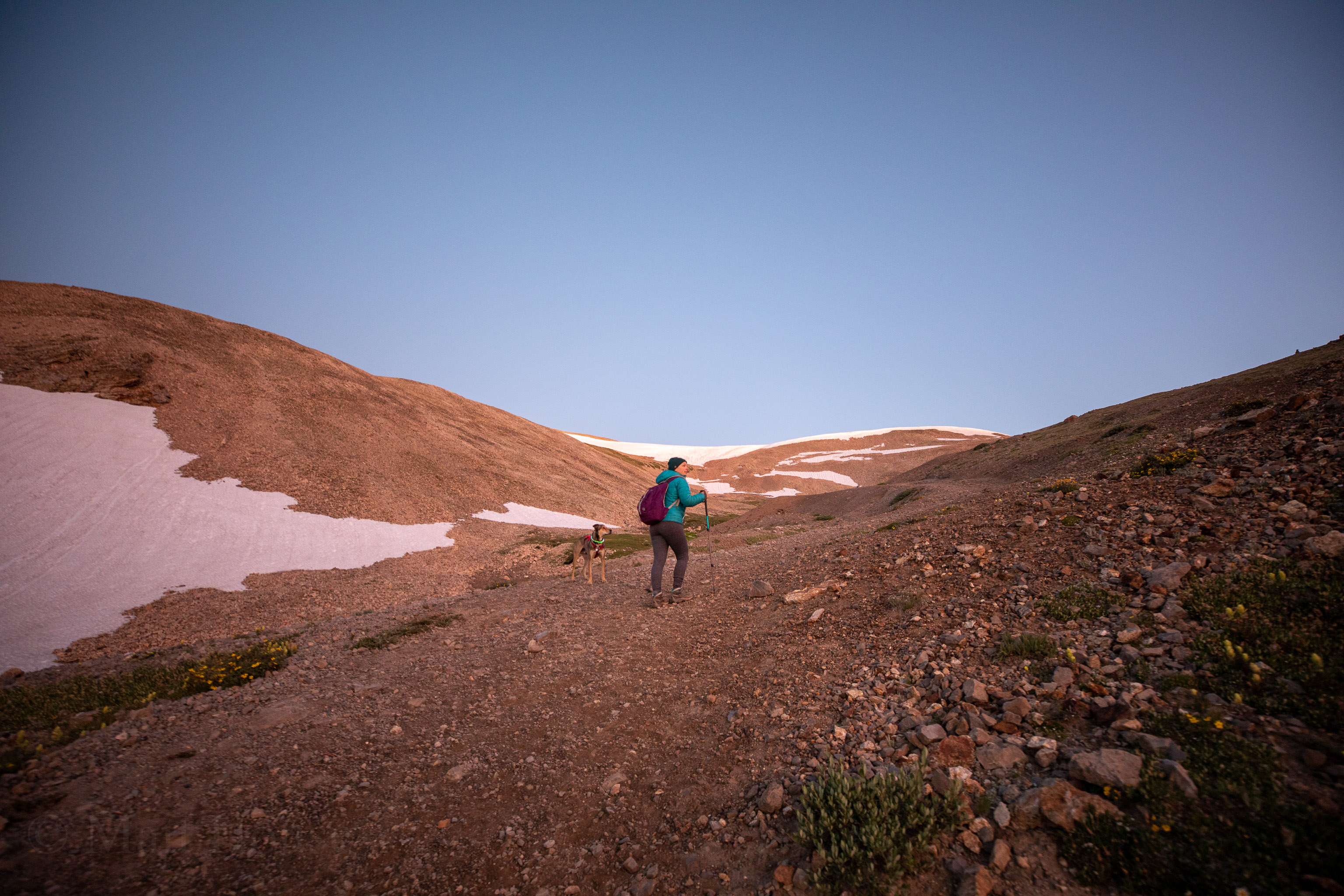
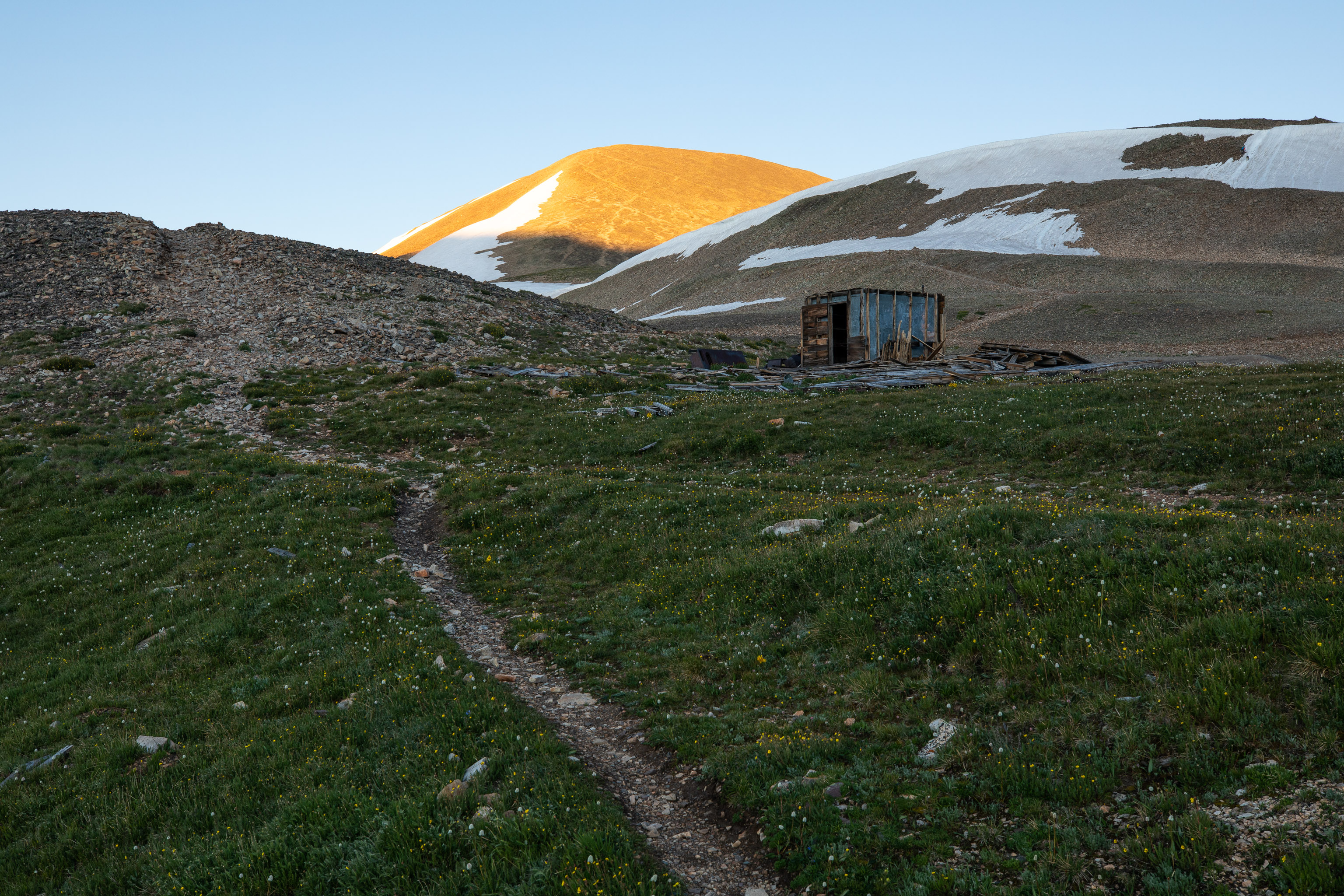
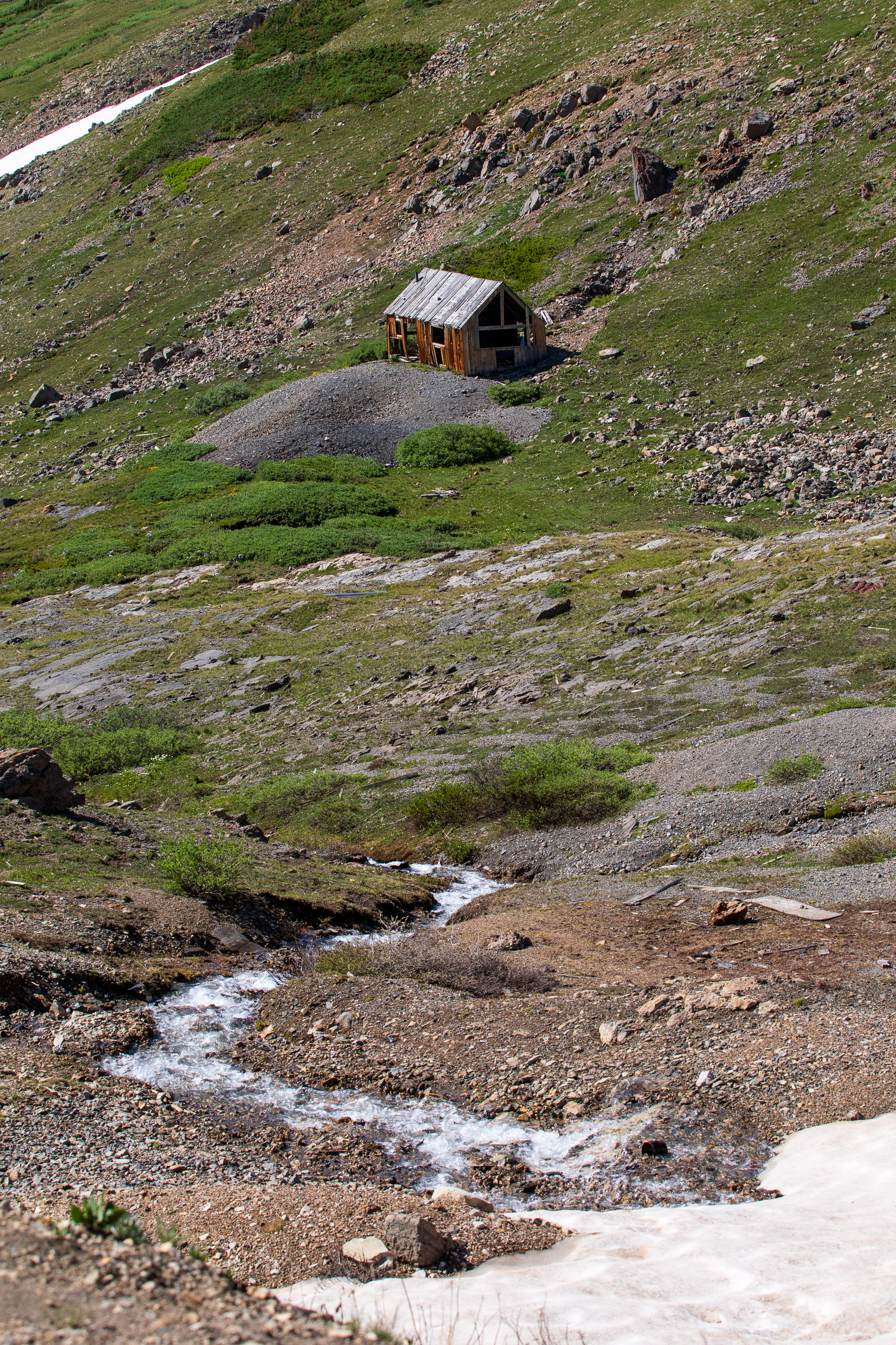
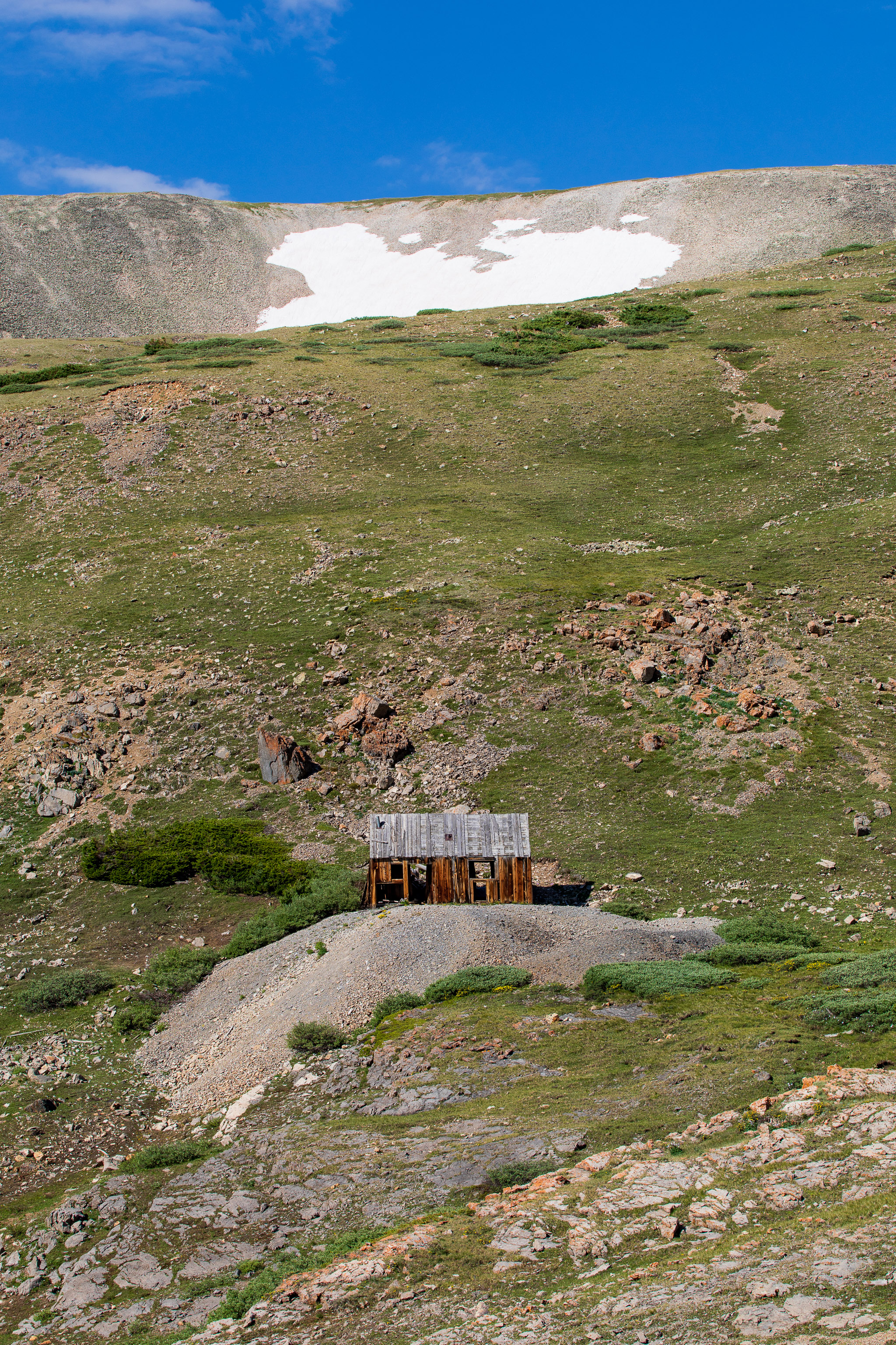
With everything packed we continued up to the trailhead at 12,000ft. You really could easily drive further if there wasn’t a gate blocking the road. There’s a lot of mining ruins just up from the gate though and unfortunately you know someone wouldn’t treat the area with respect if you could drive up to it.
The first half of the hike is up easy gravel road past all the ruins from past mining operations. The mines are why the road even exists. It’s cool to imagine living and working in beautiful places like this but I also think of how hard a life it must have been.
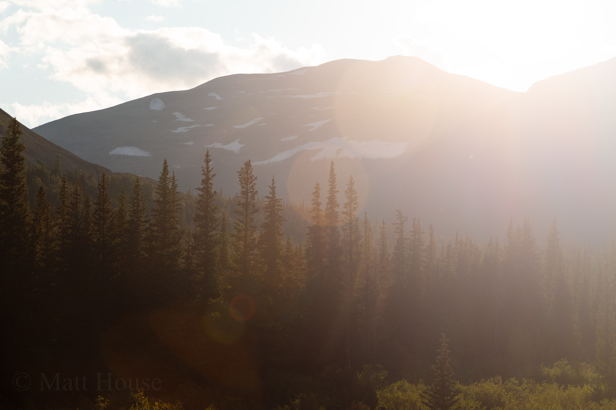
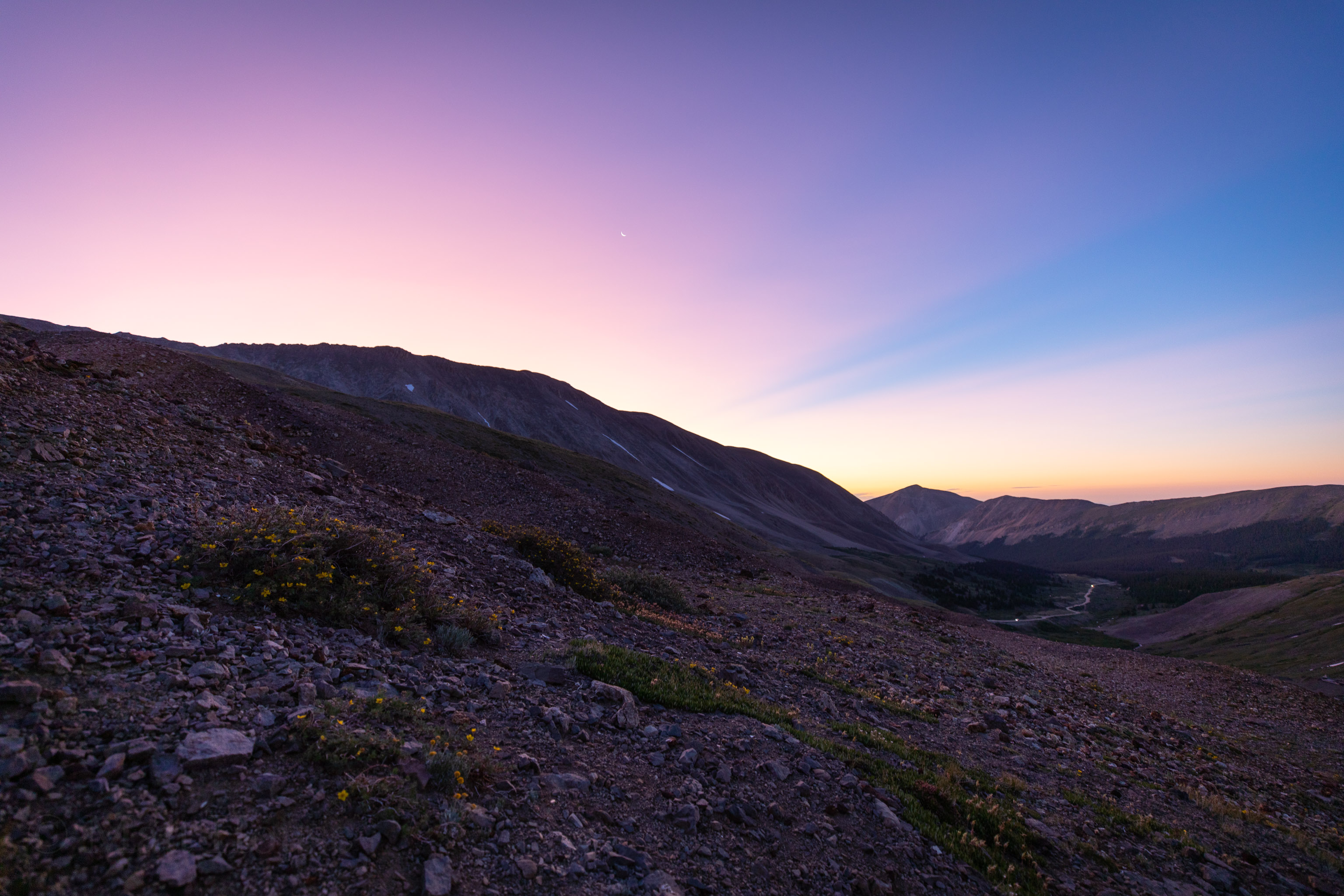
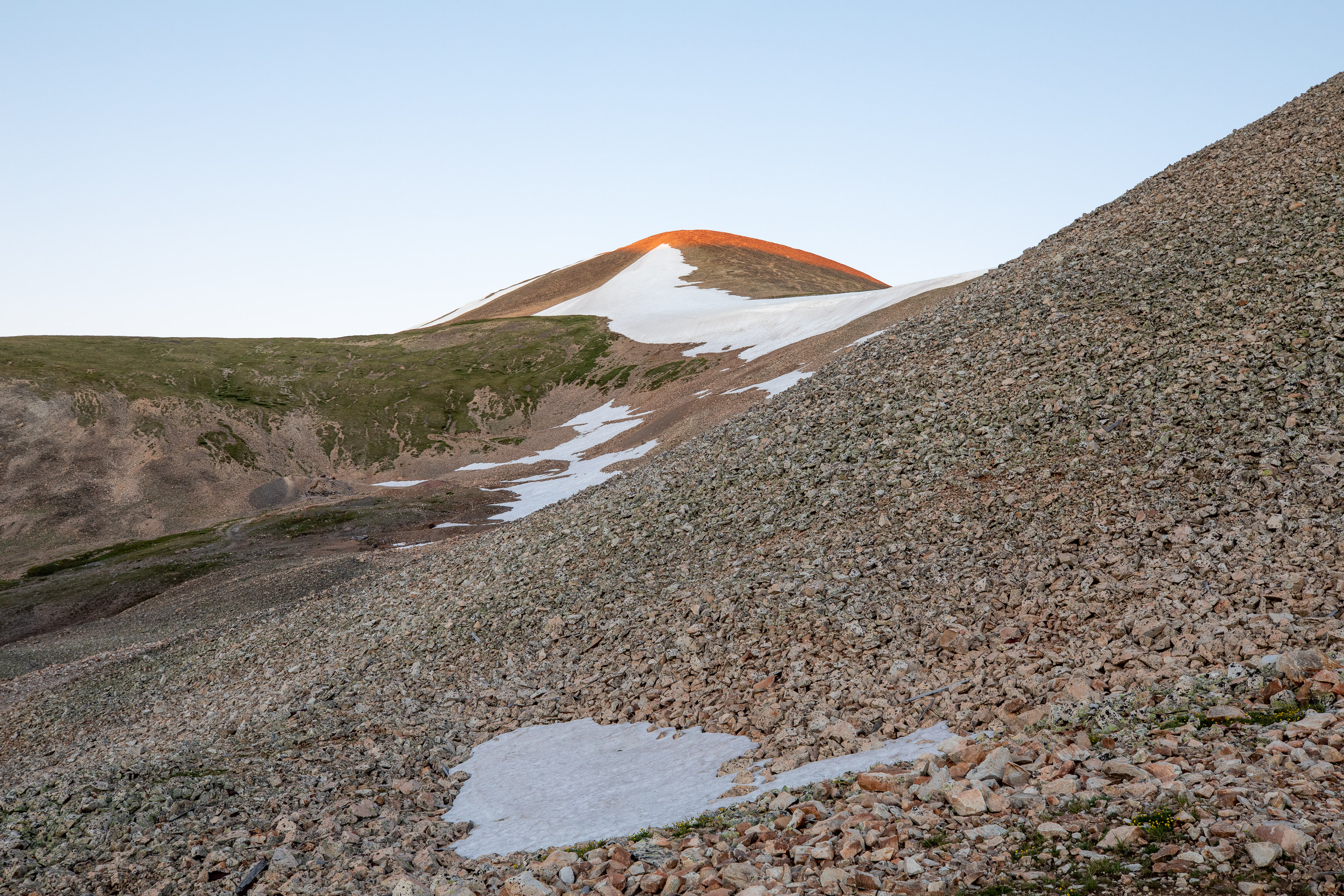
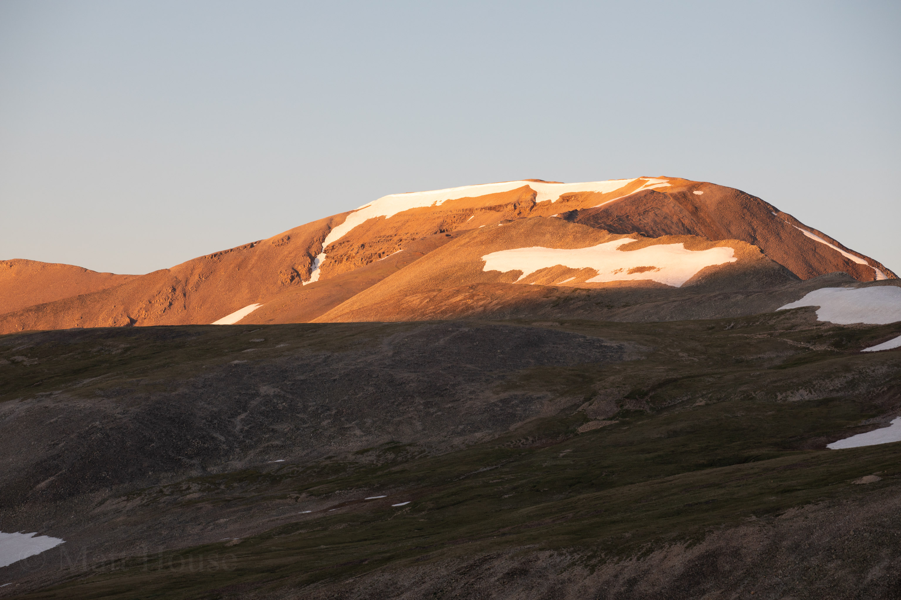
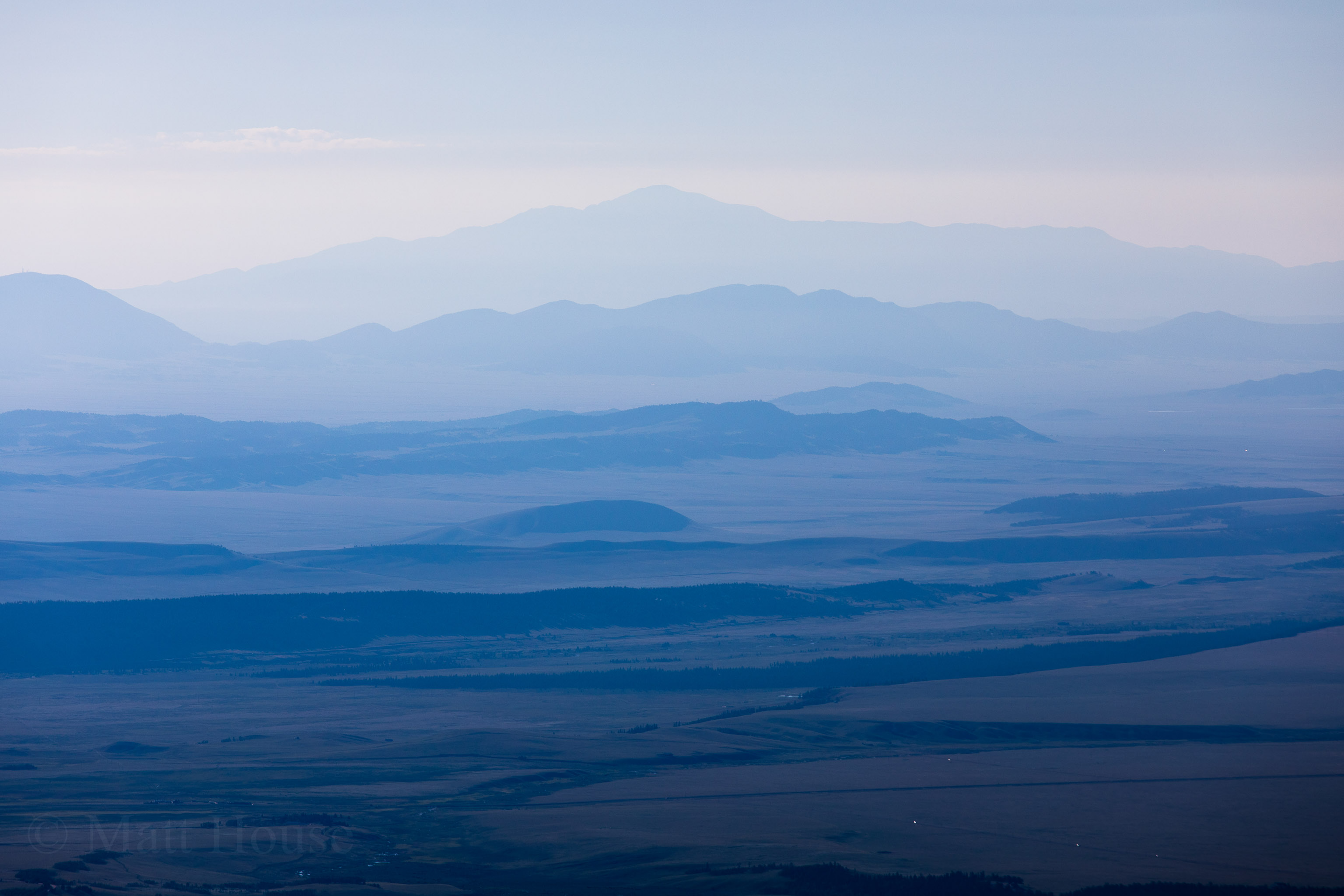
Sunrise was amazing. It’s always energizing to have the sun start coming up, knowing warmth will be hitting your face soon.

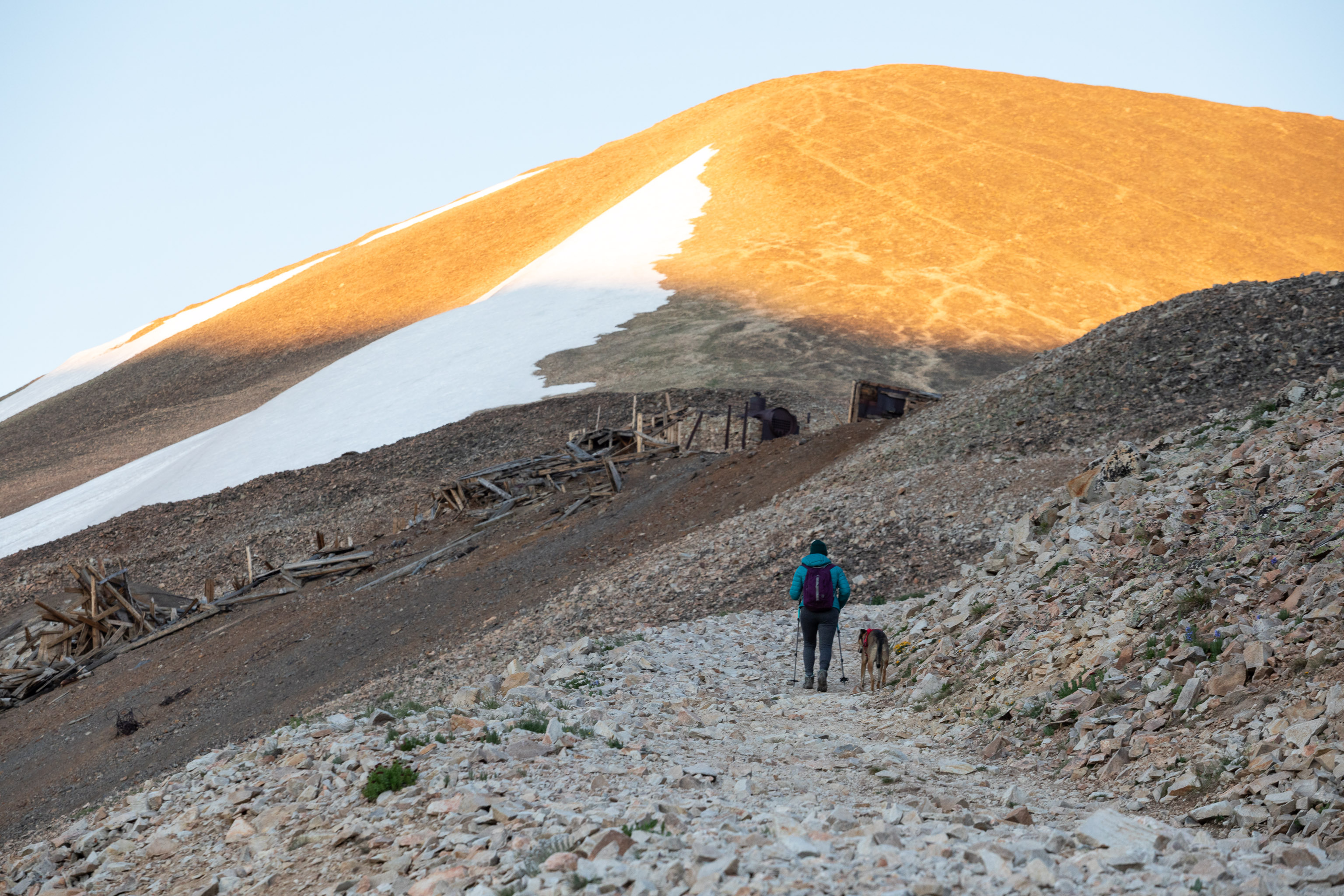
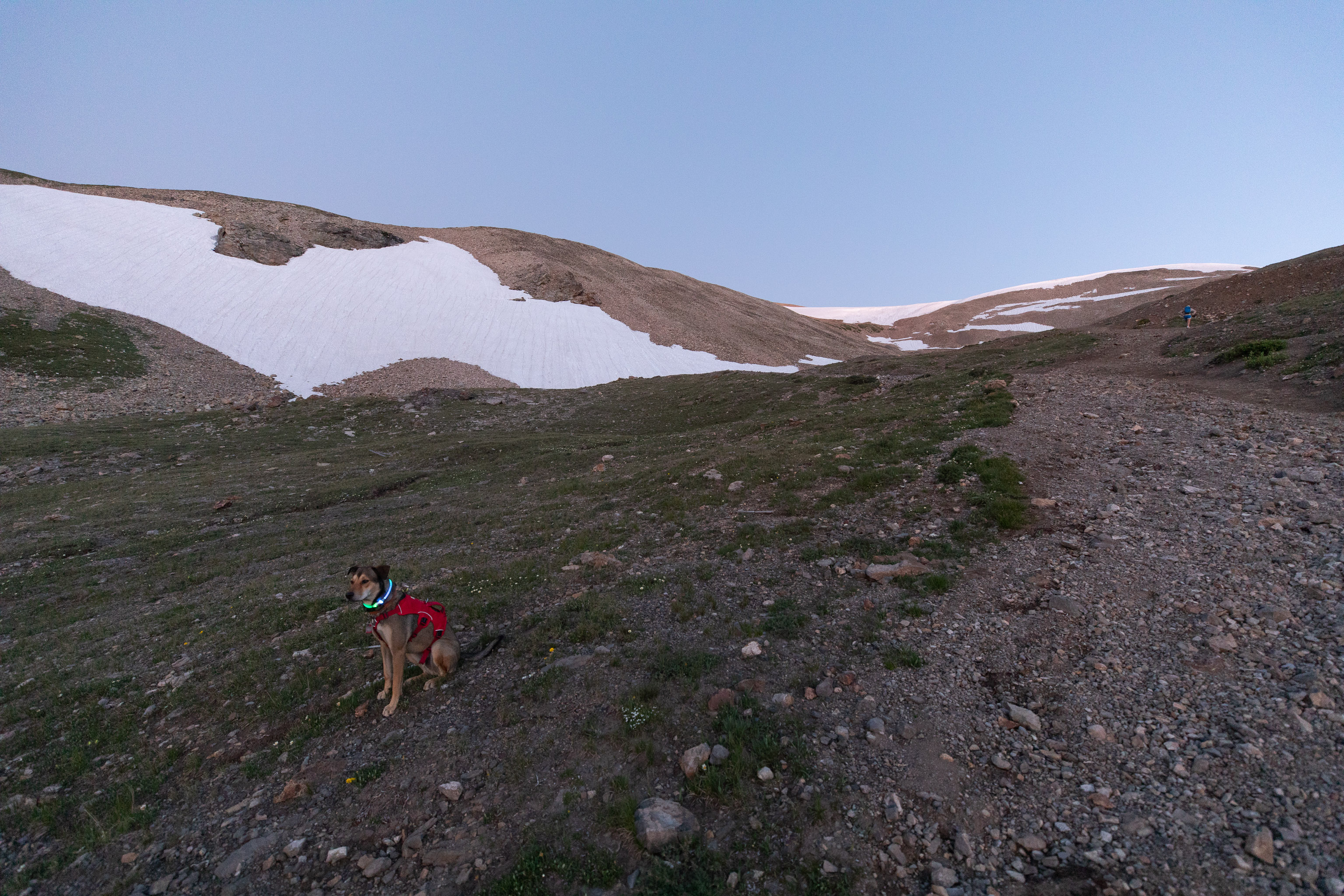
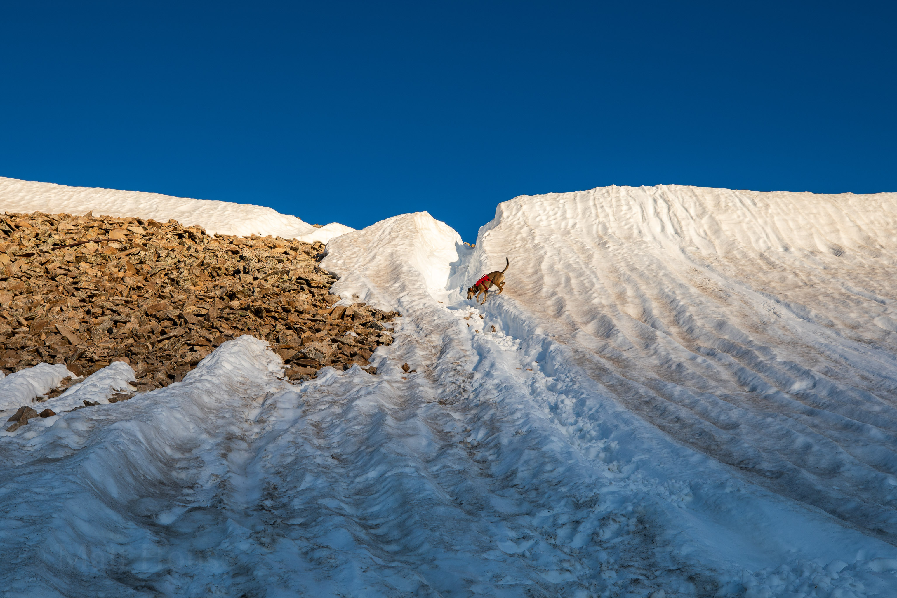
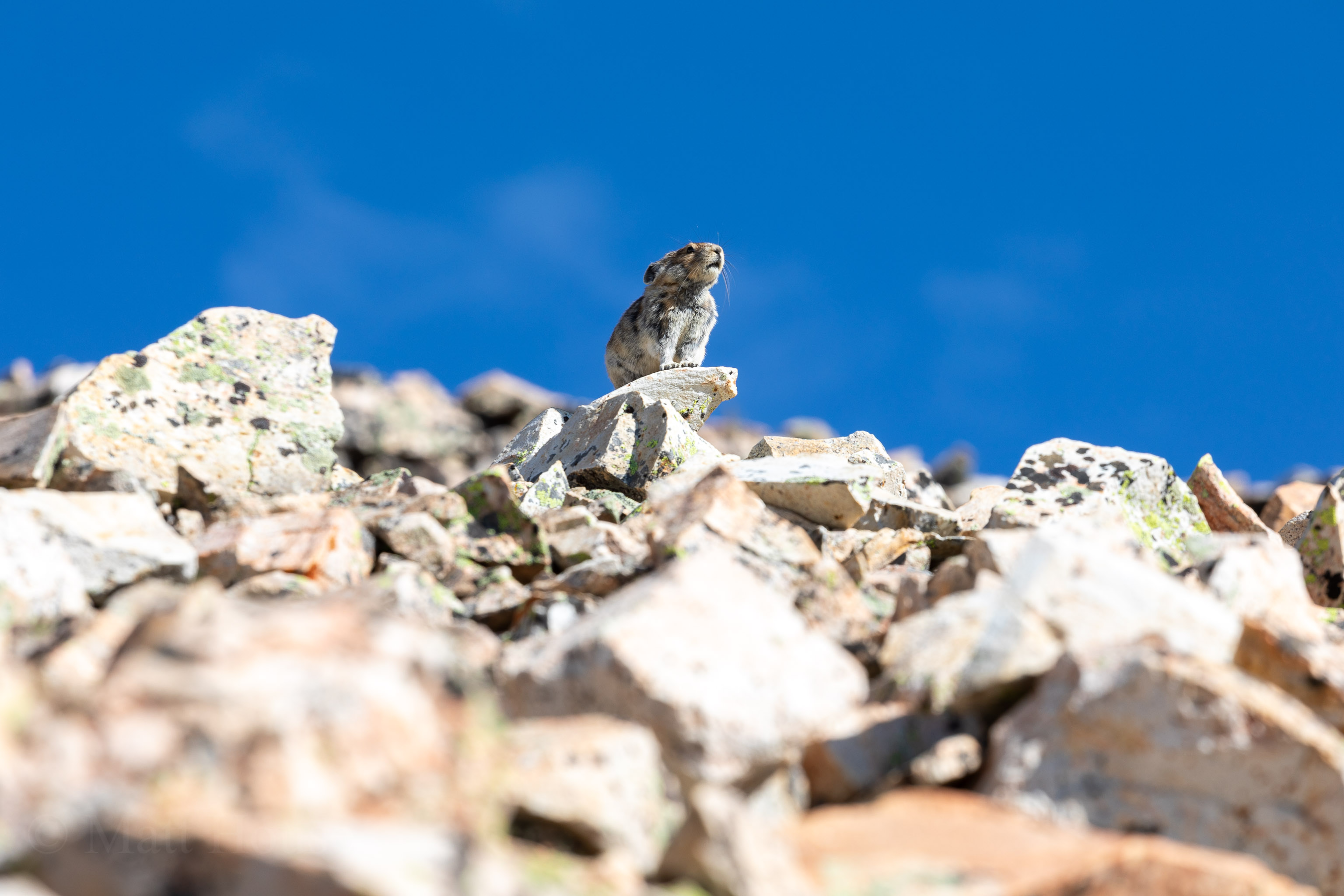
We finally got up off the road and there was still the remains of a cornice blocking the trail. Enough people had glissaded down the main path that it was pretty smooth. Also it was cold enough overnight the the snow was rock hard and icy. Teddy had no problem going up and down several times while everyone else carefully moved up through the loose talus to the left.
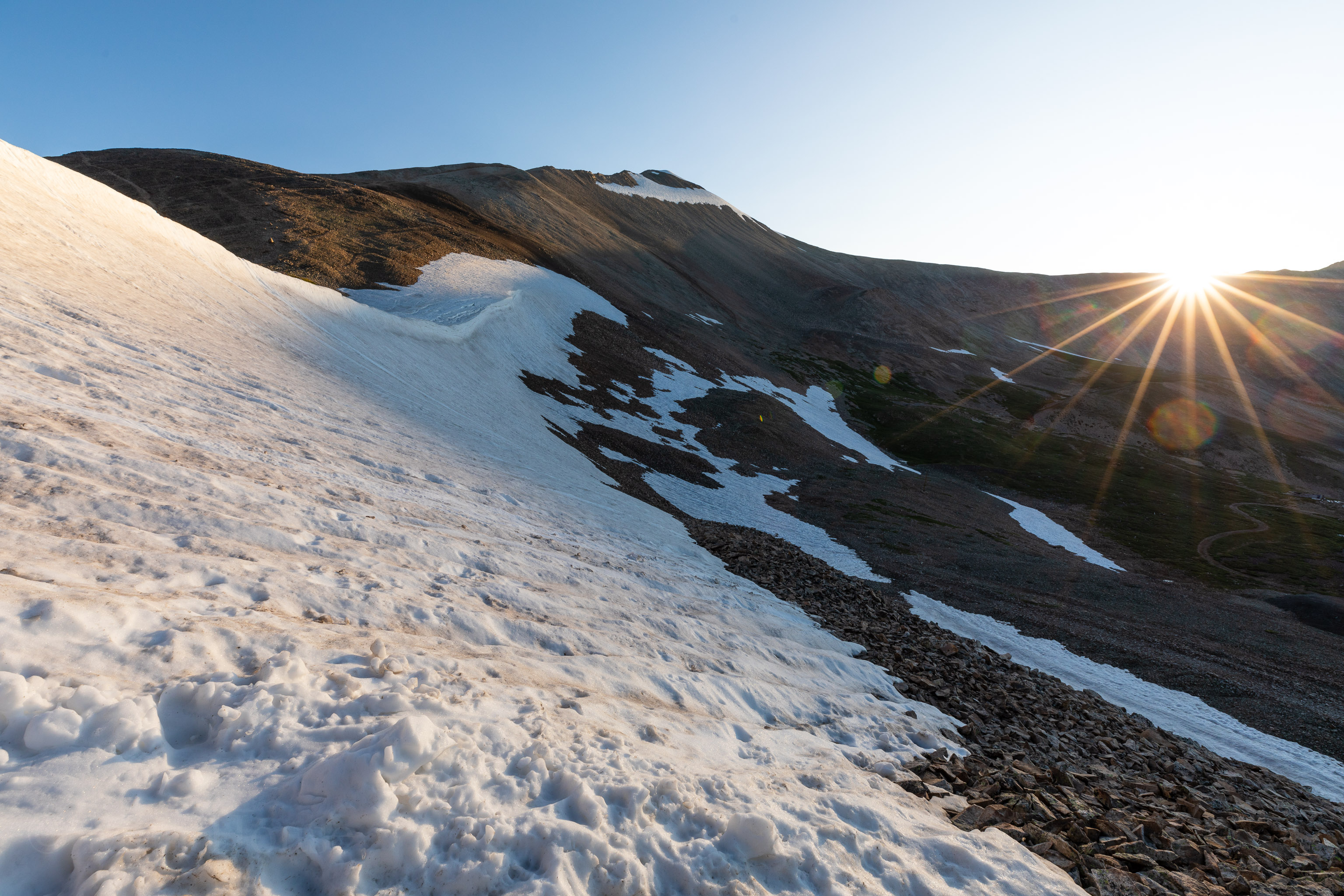
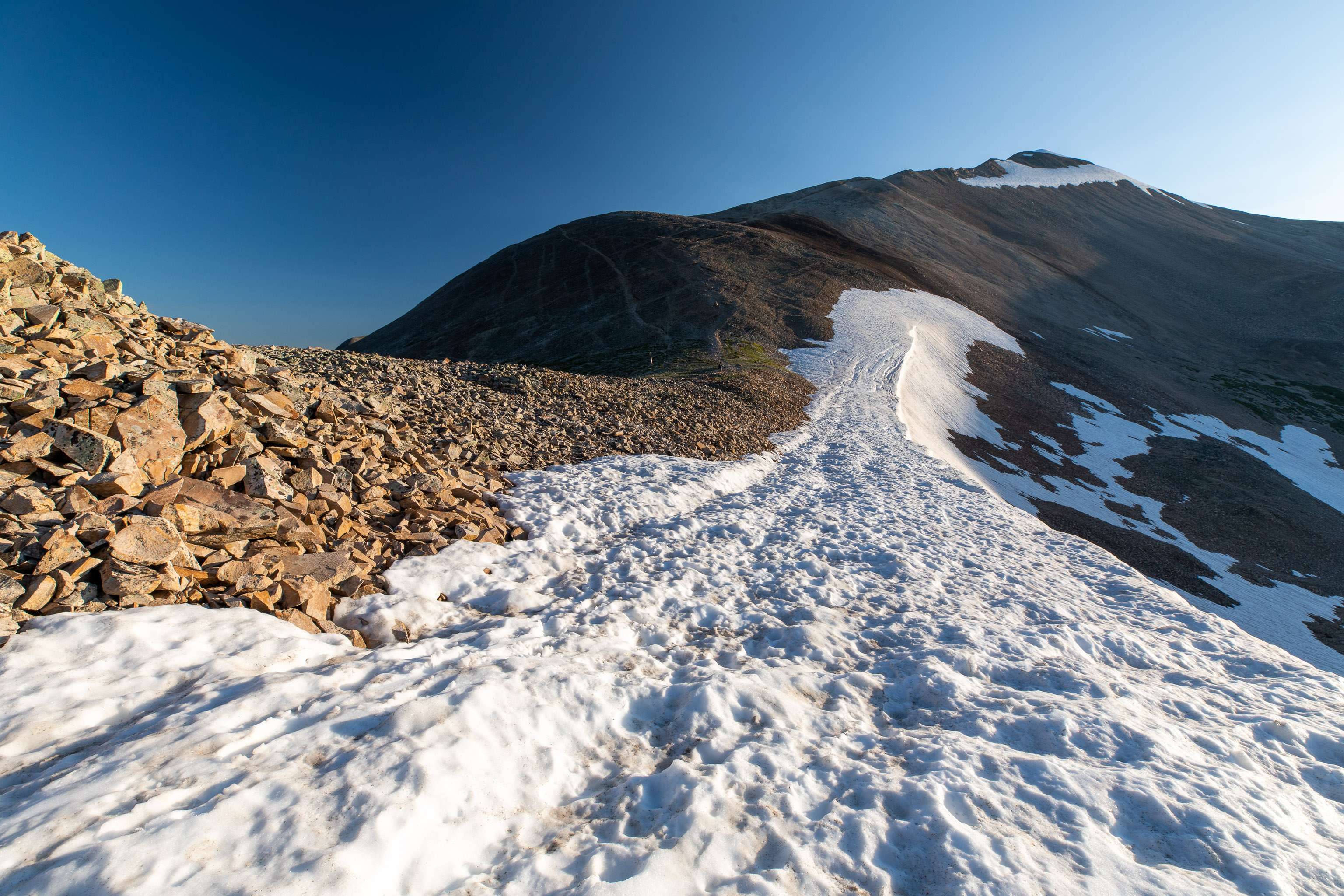
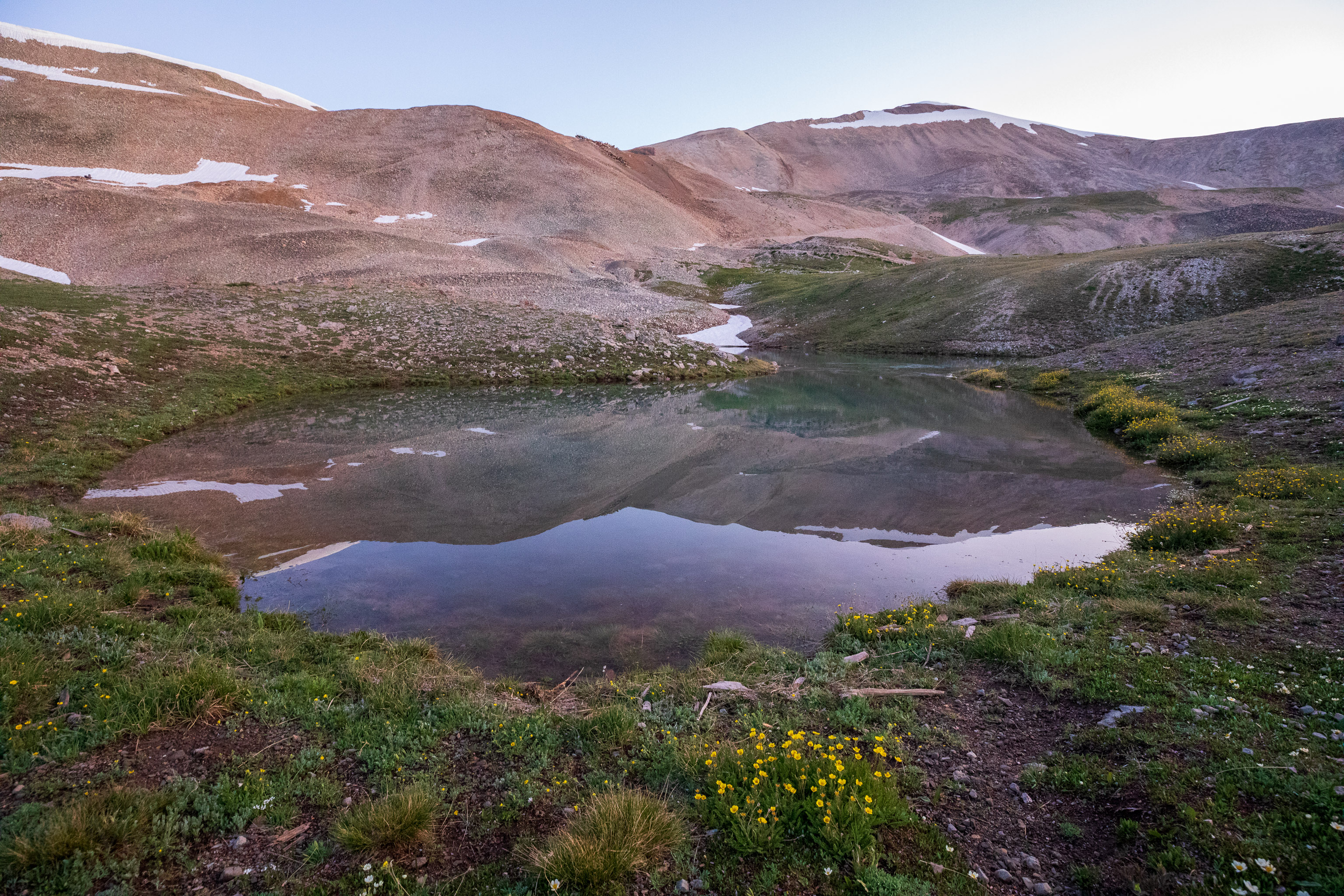
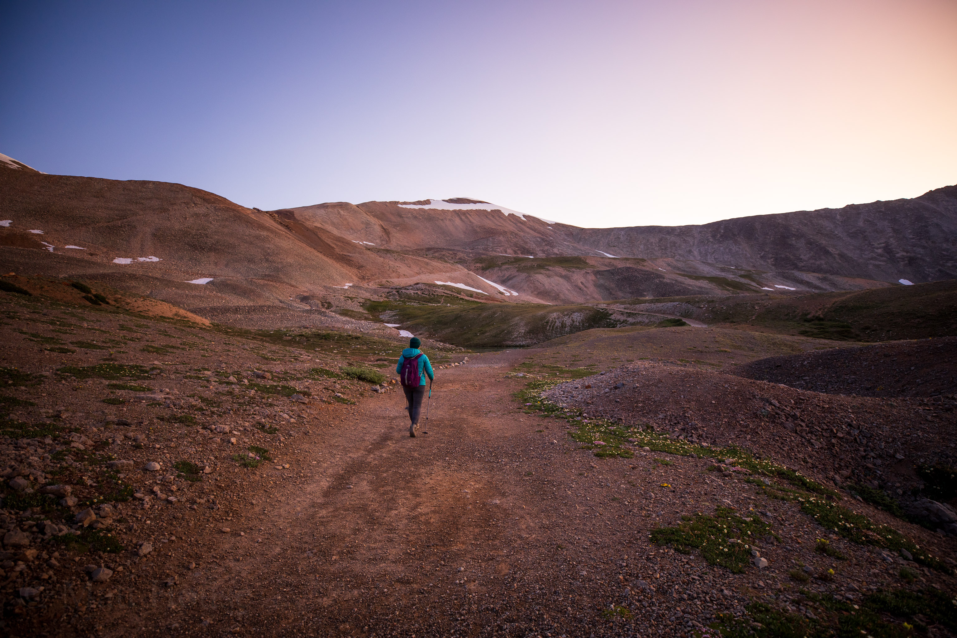
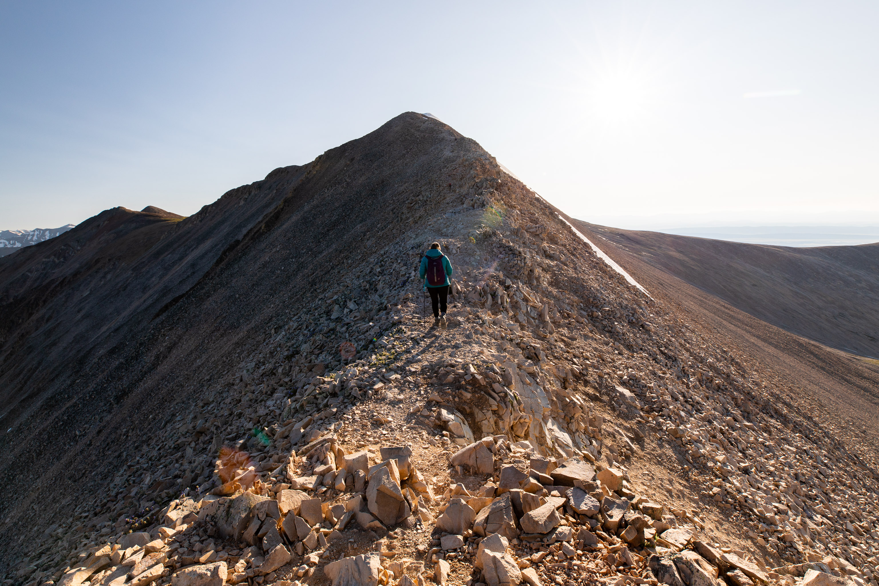
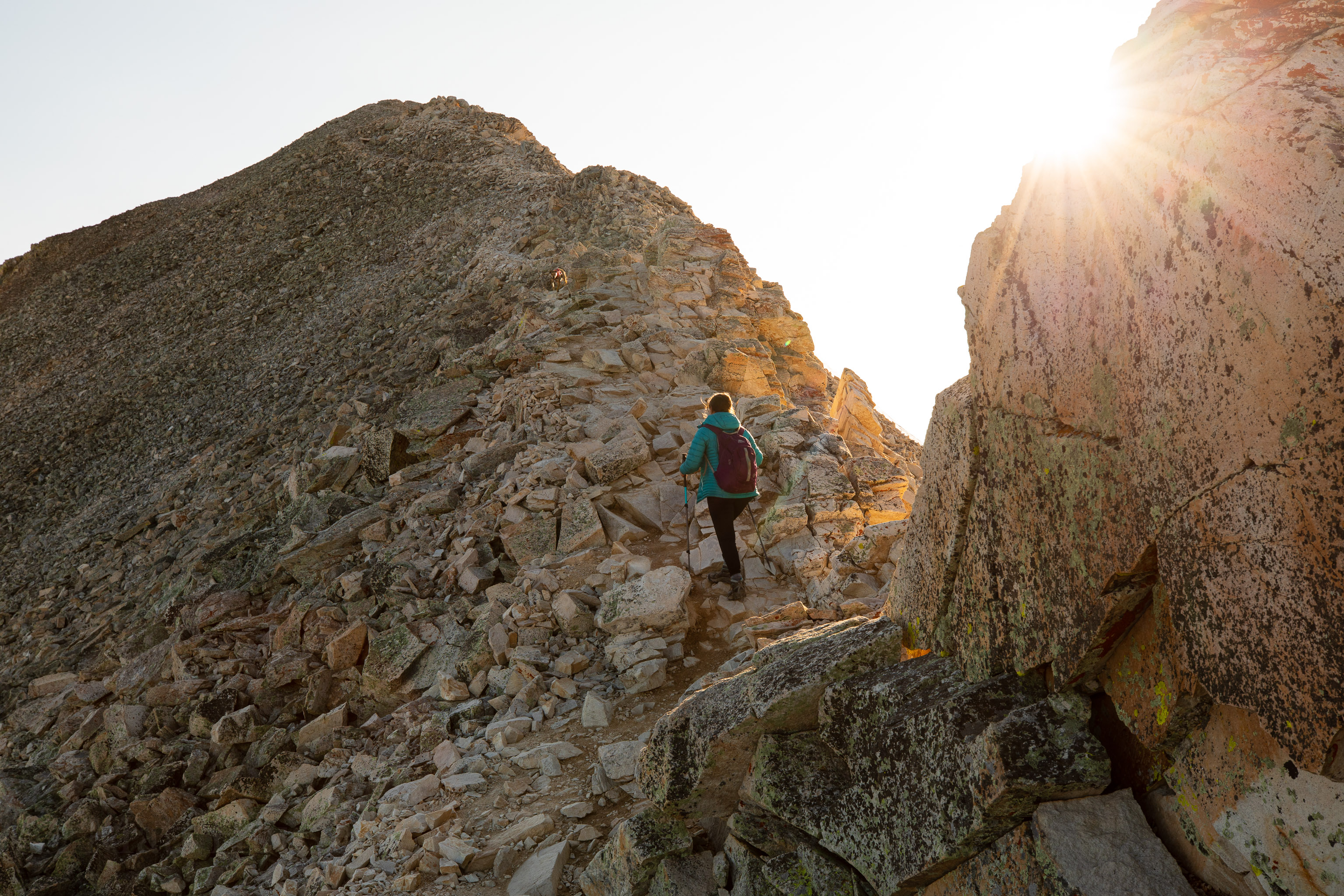
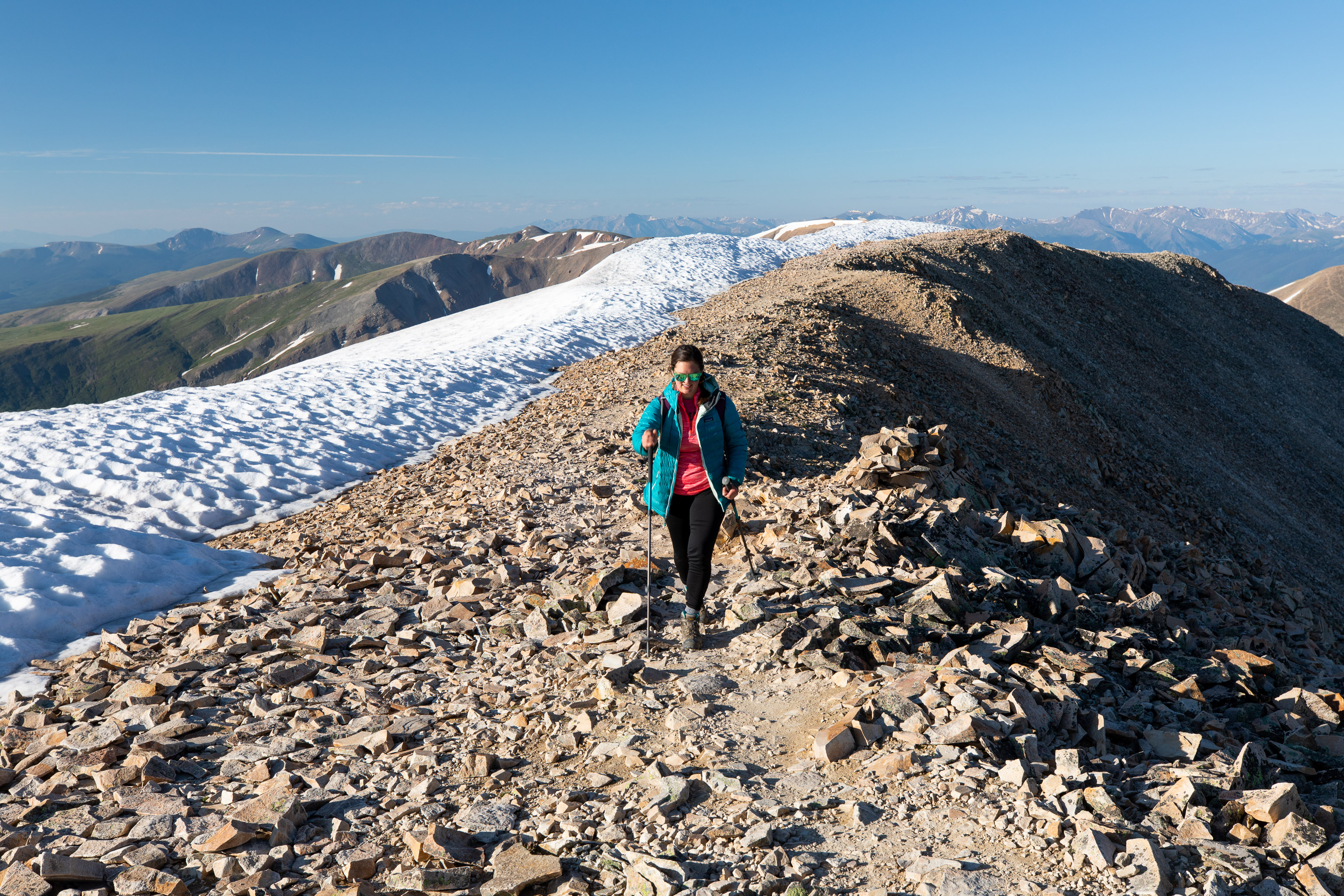
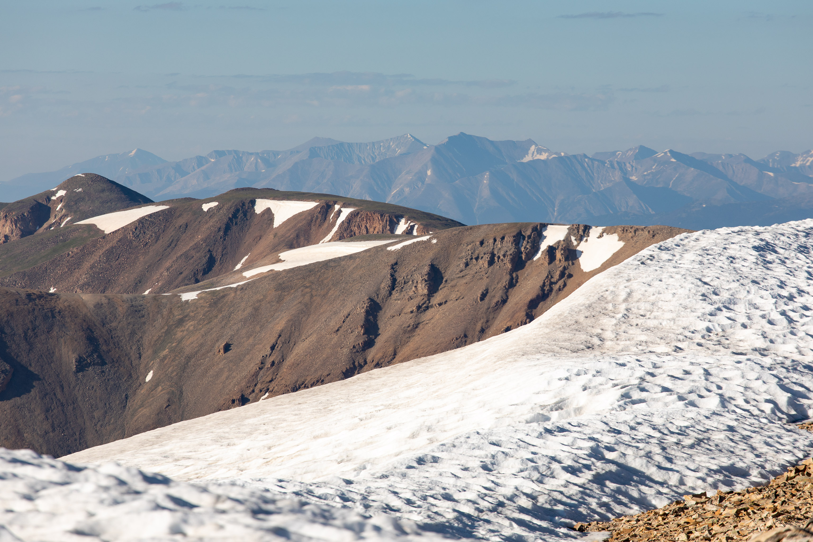
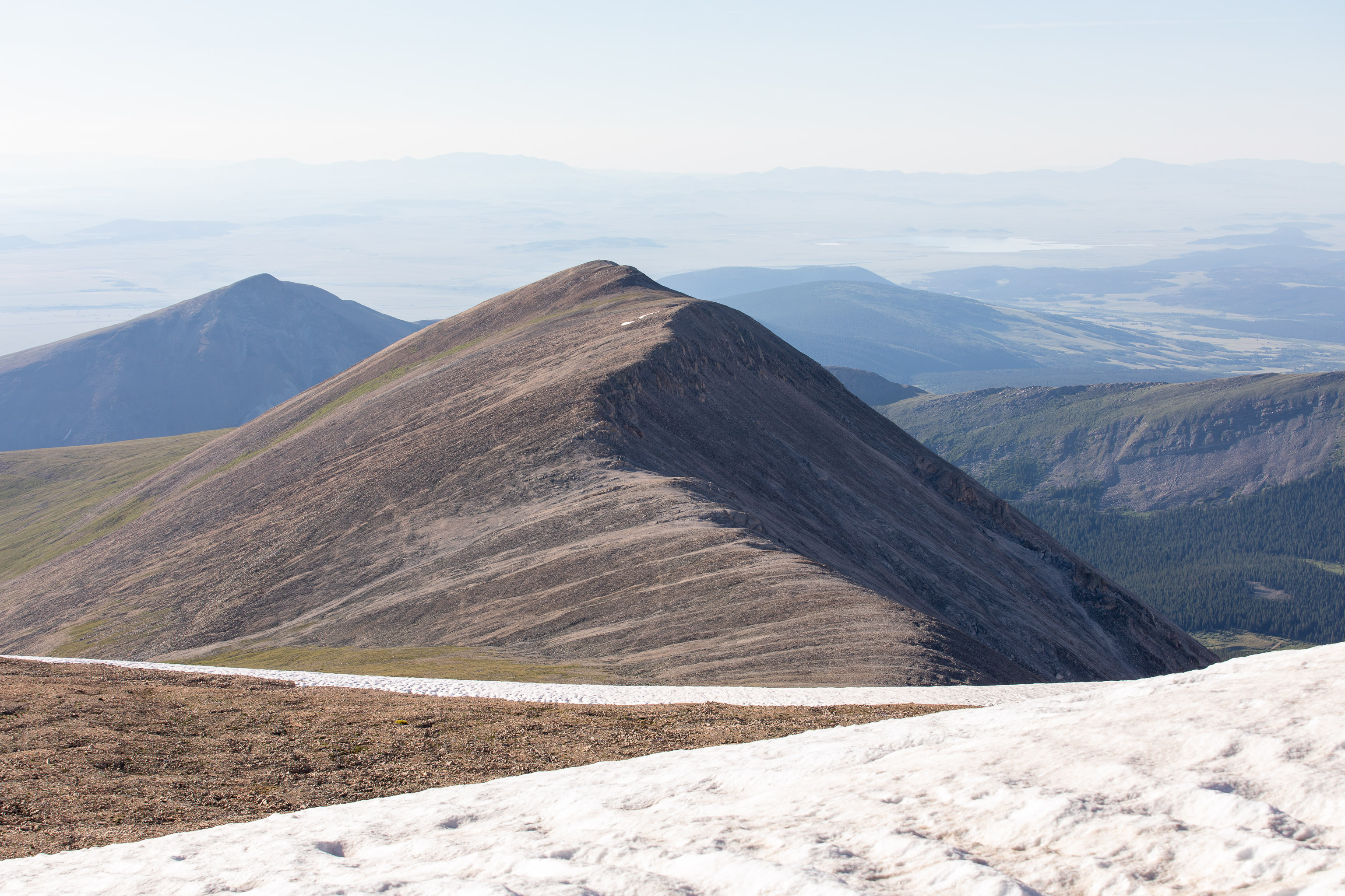
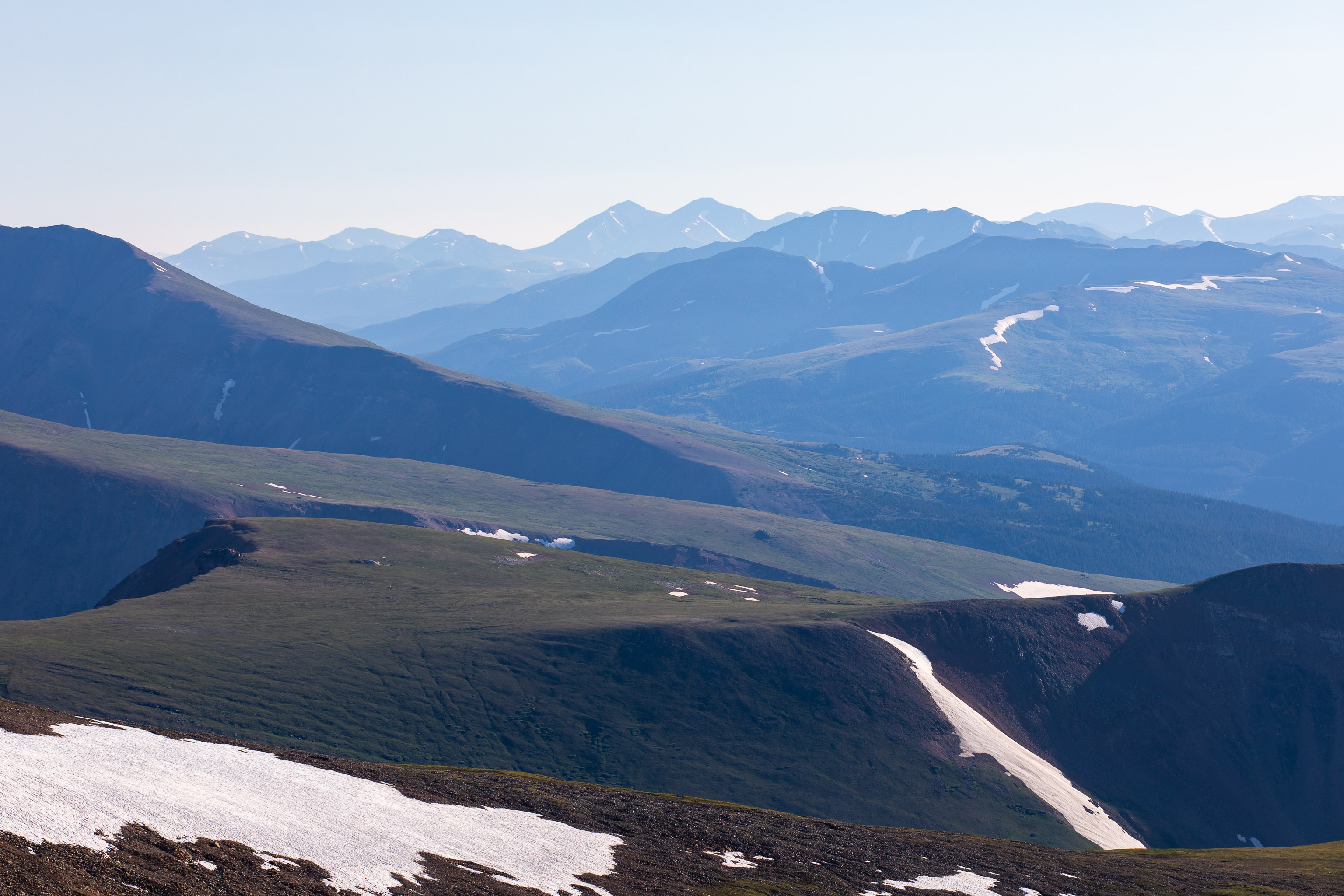
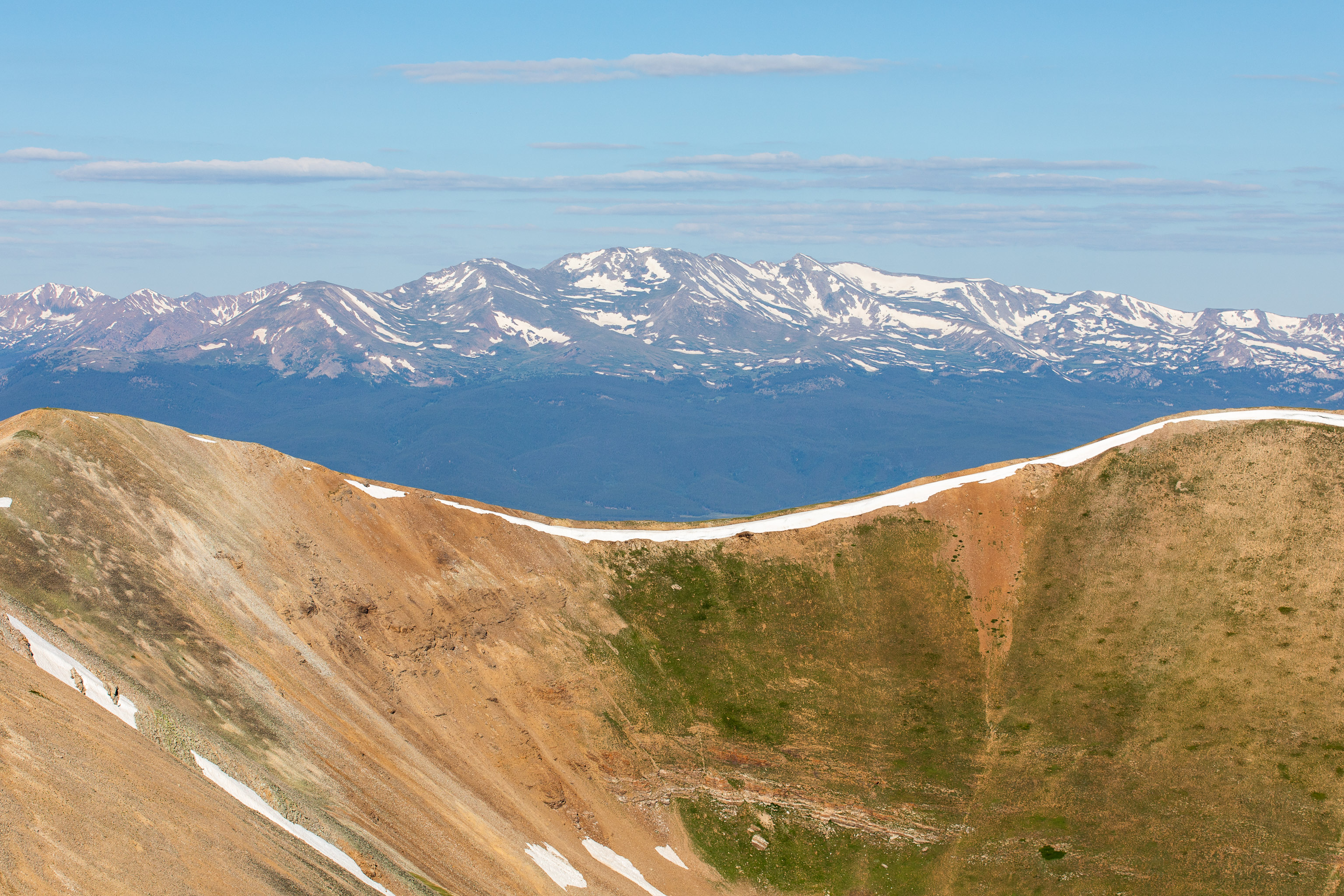
Once over the snow onto the ridge, the rest of the hike comes into view. Just follow the SW ridge to the summit. It’s a little rocky and kinda loose in spots and I guess that’s why it gets a class 2 rating.
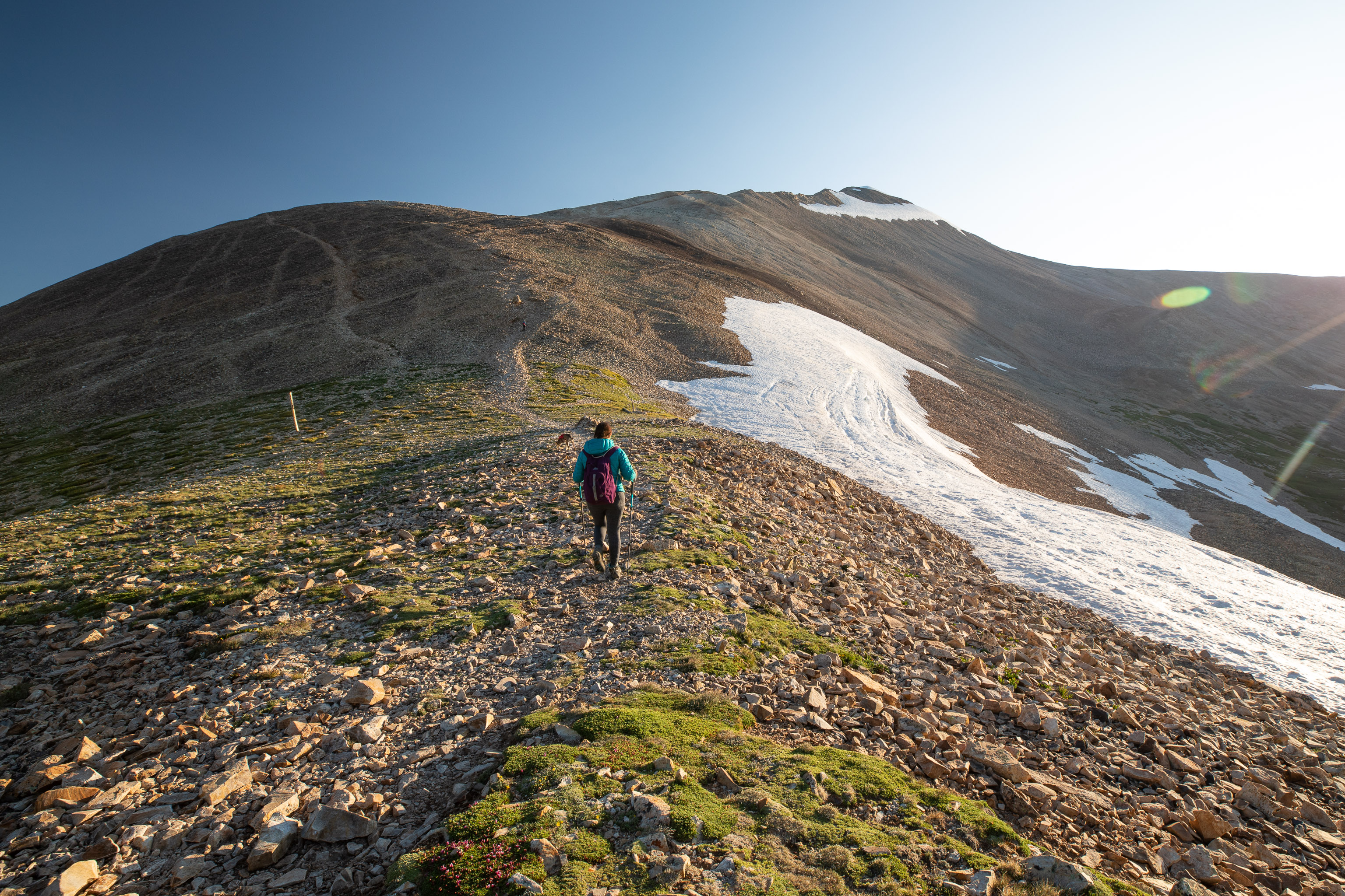
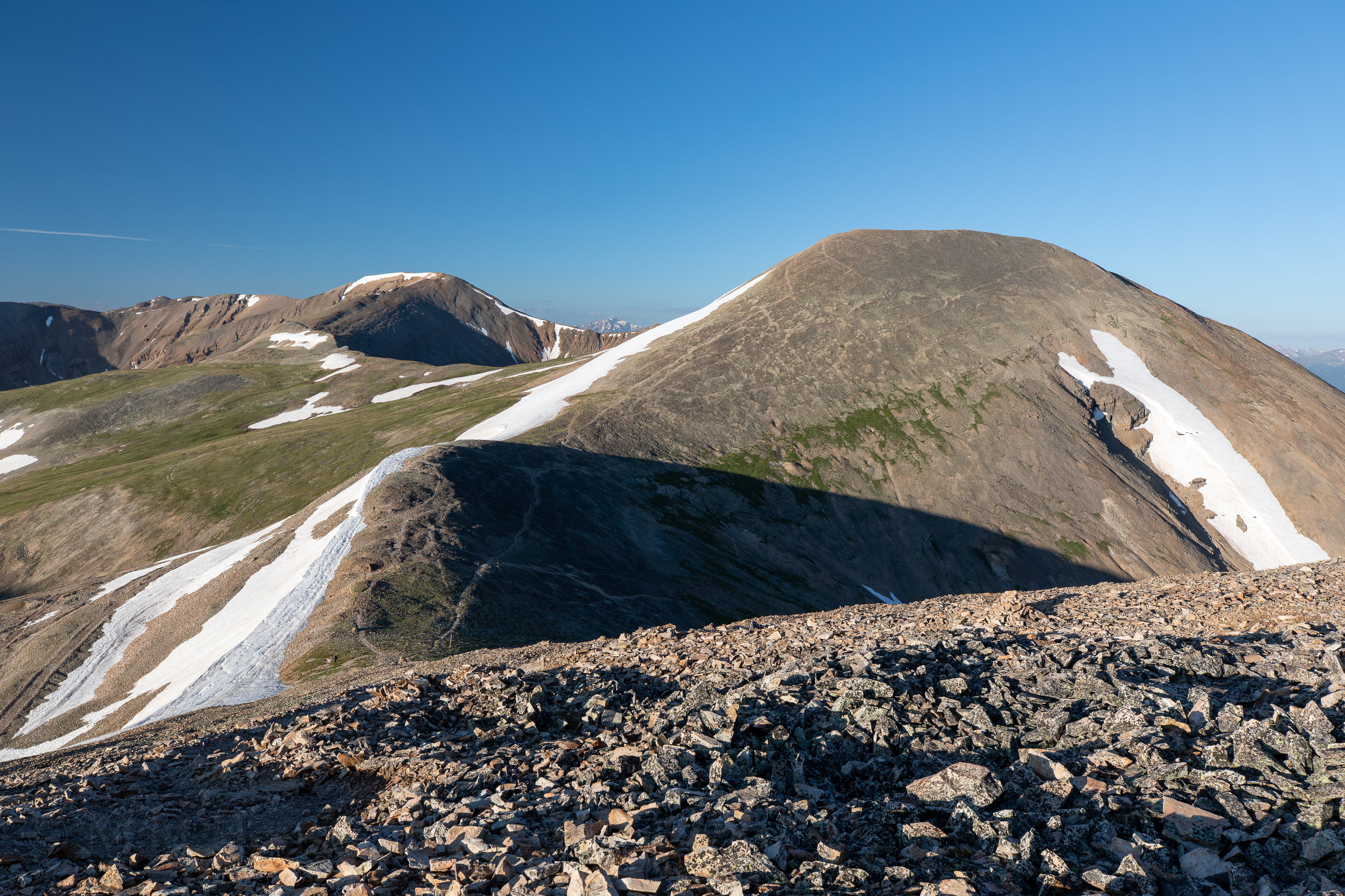
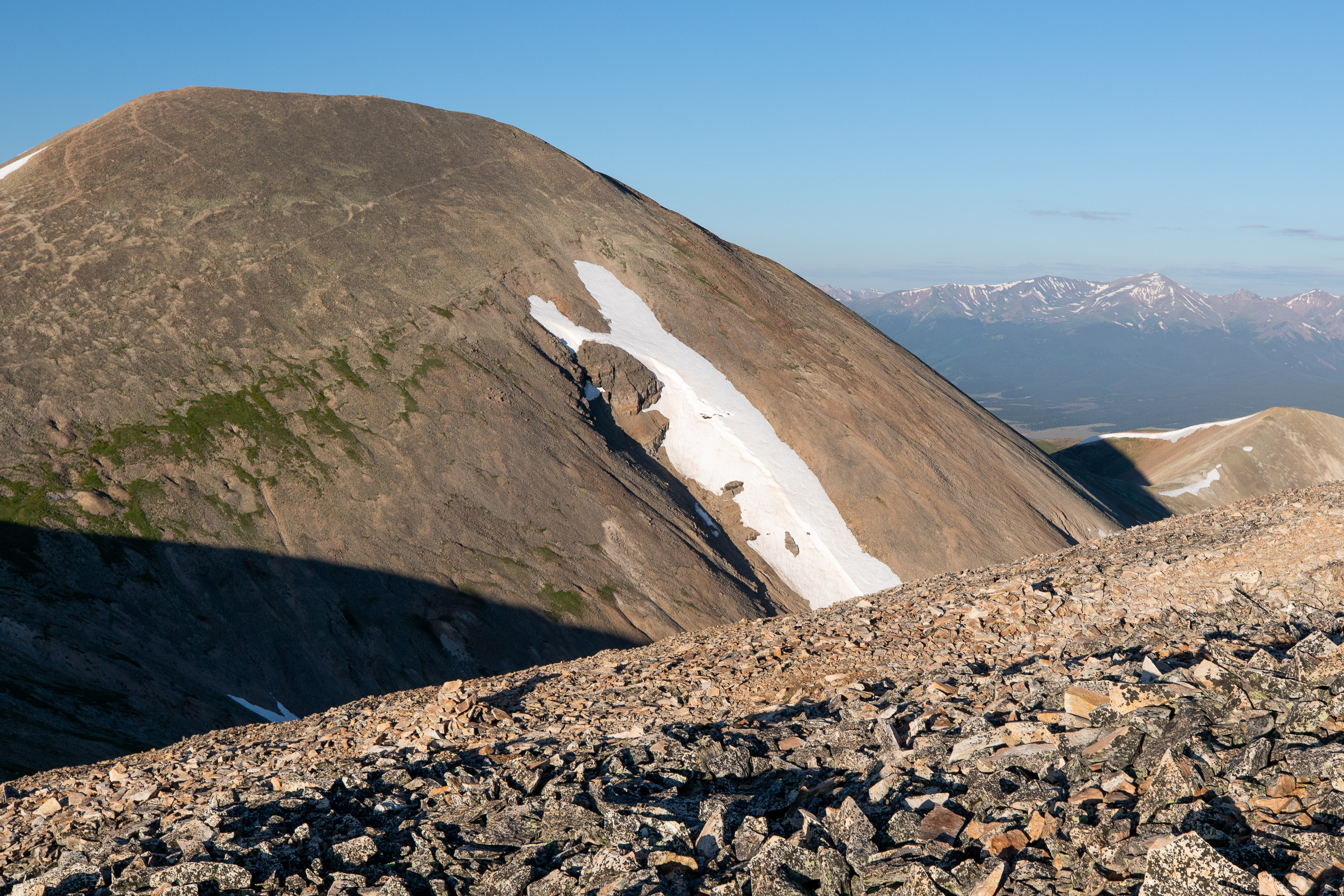
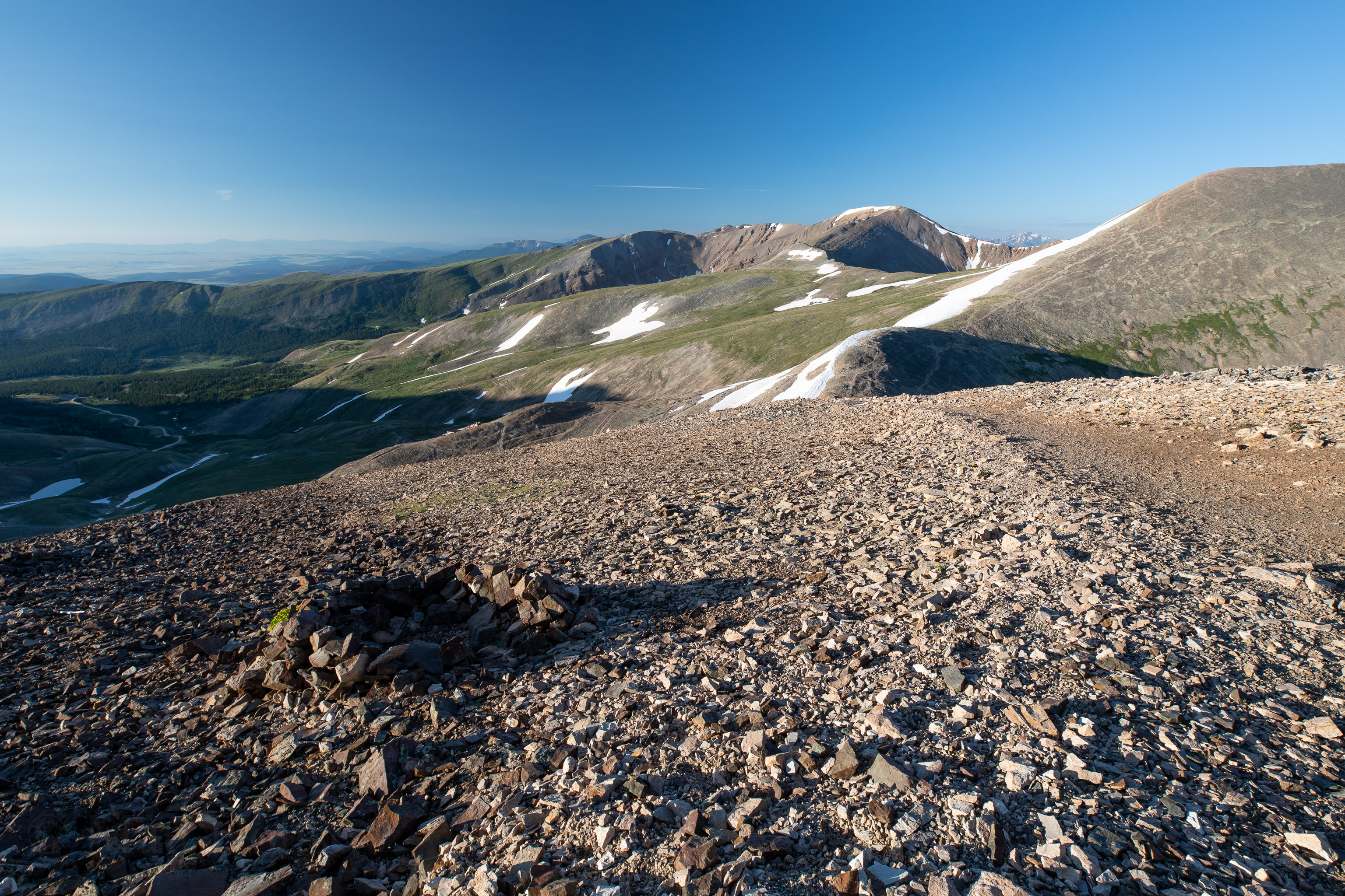
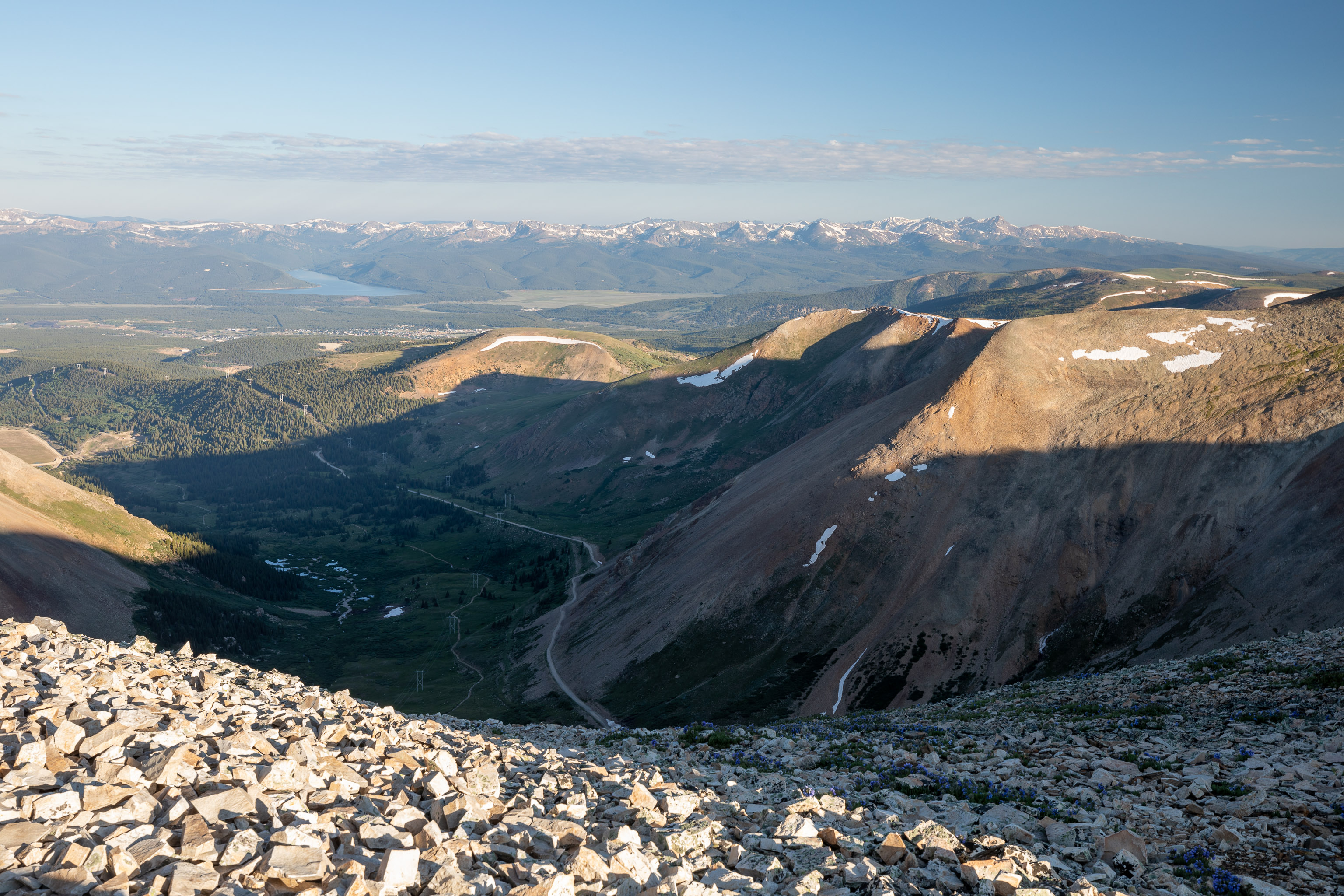
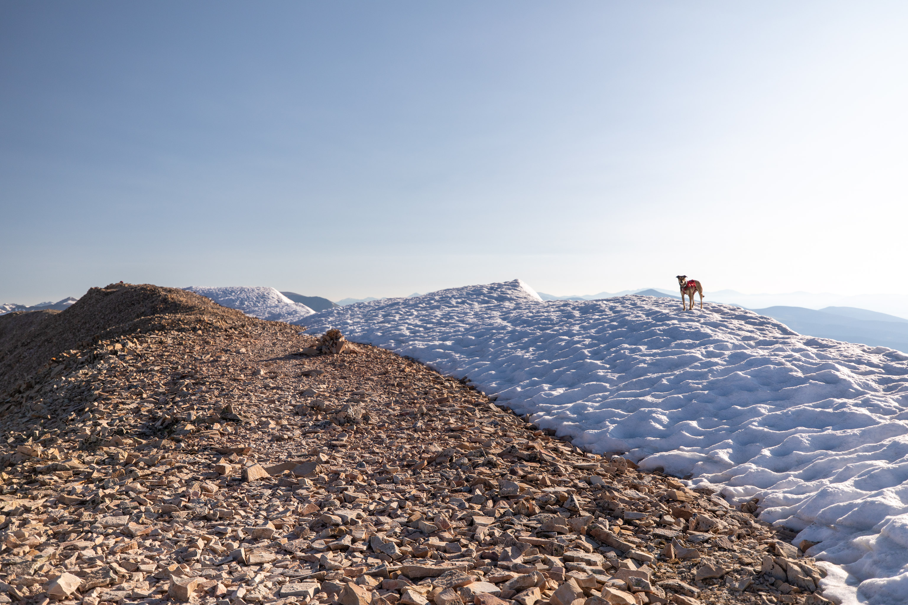
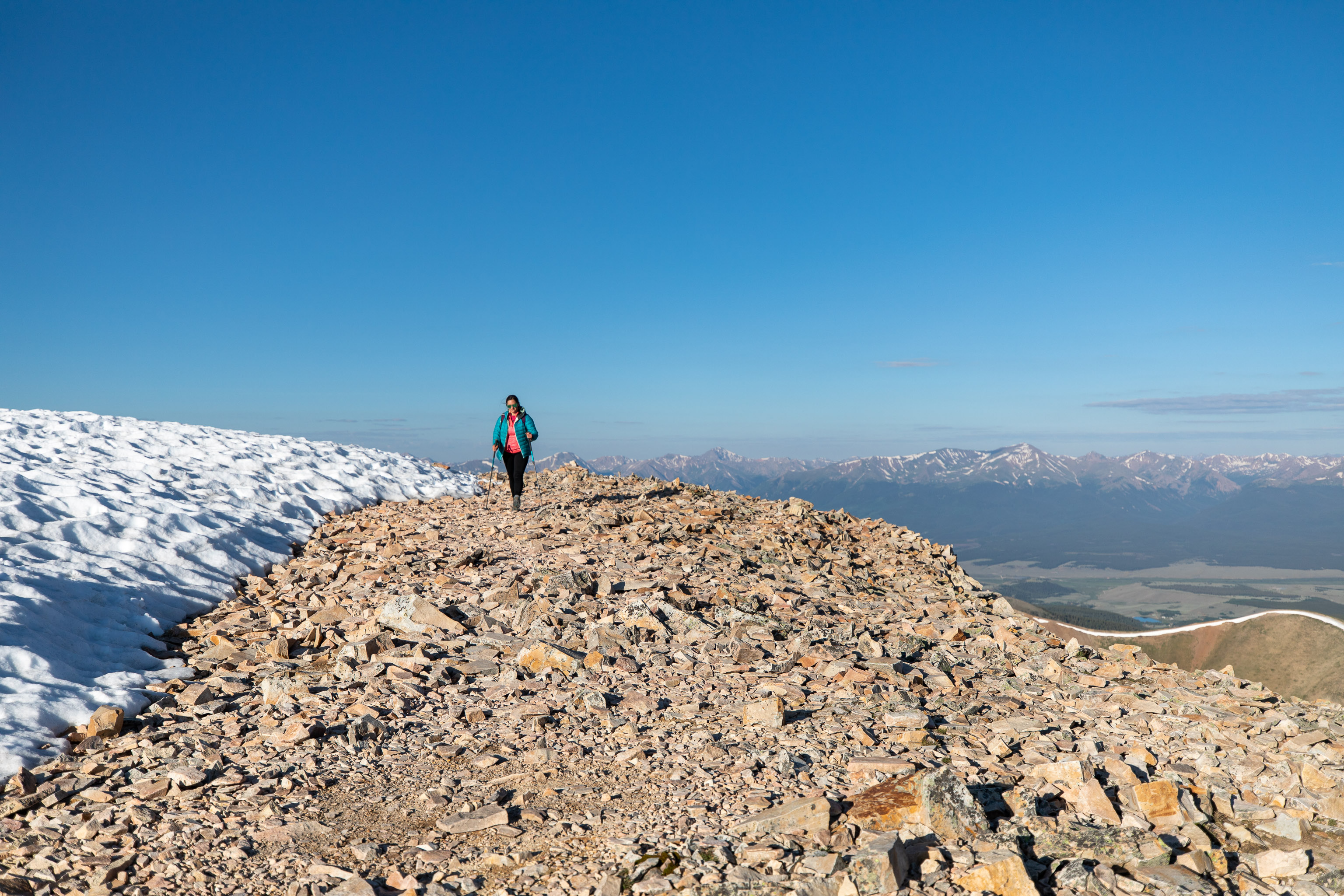
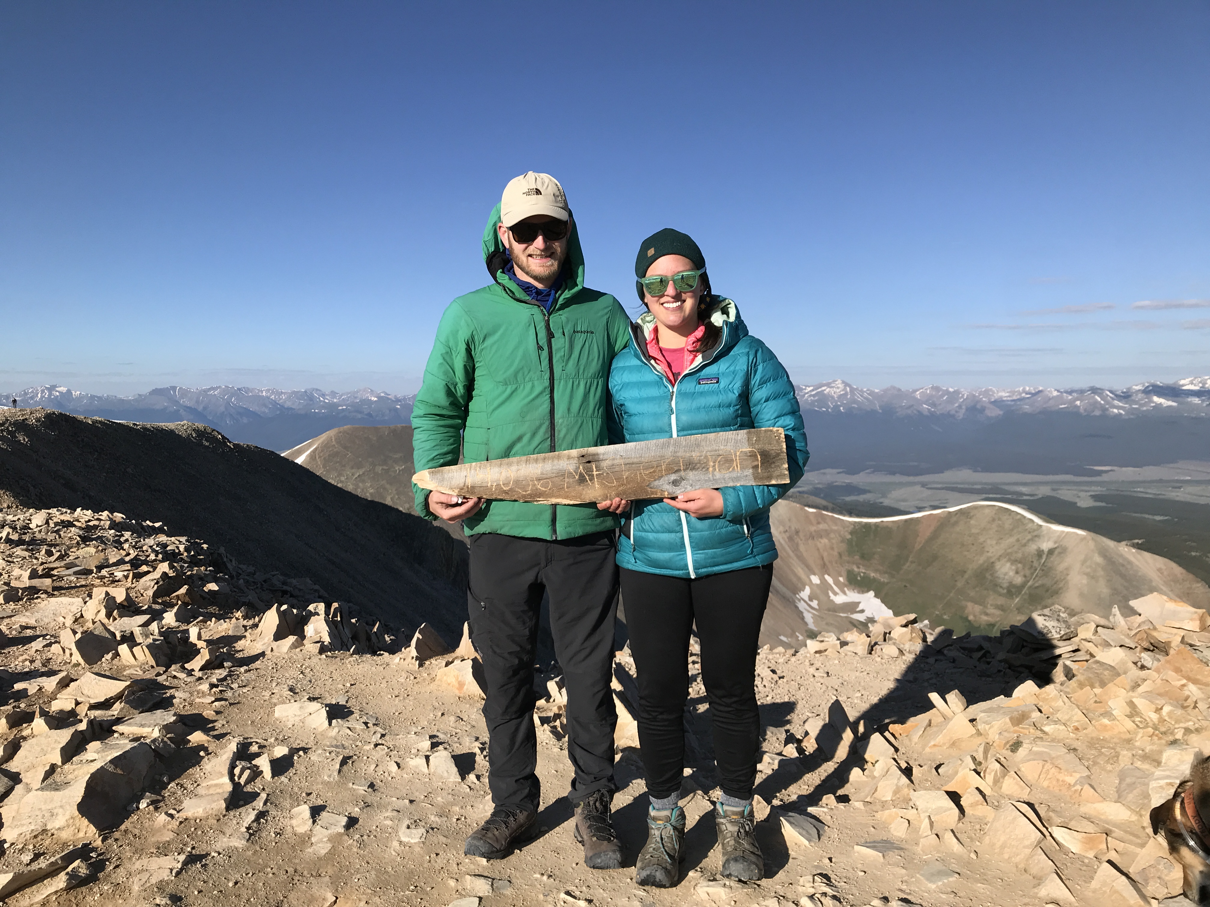
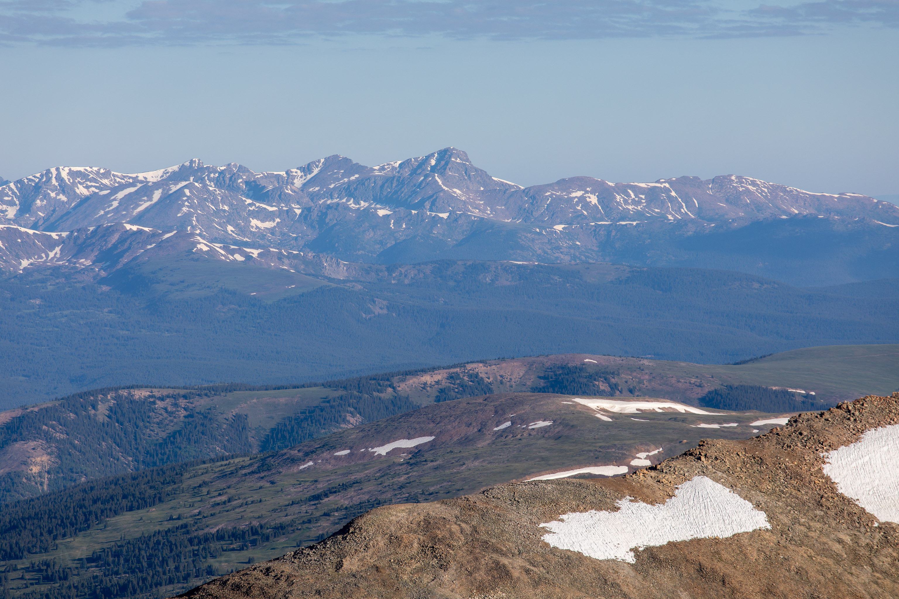
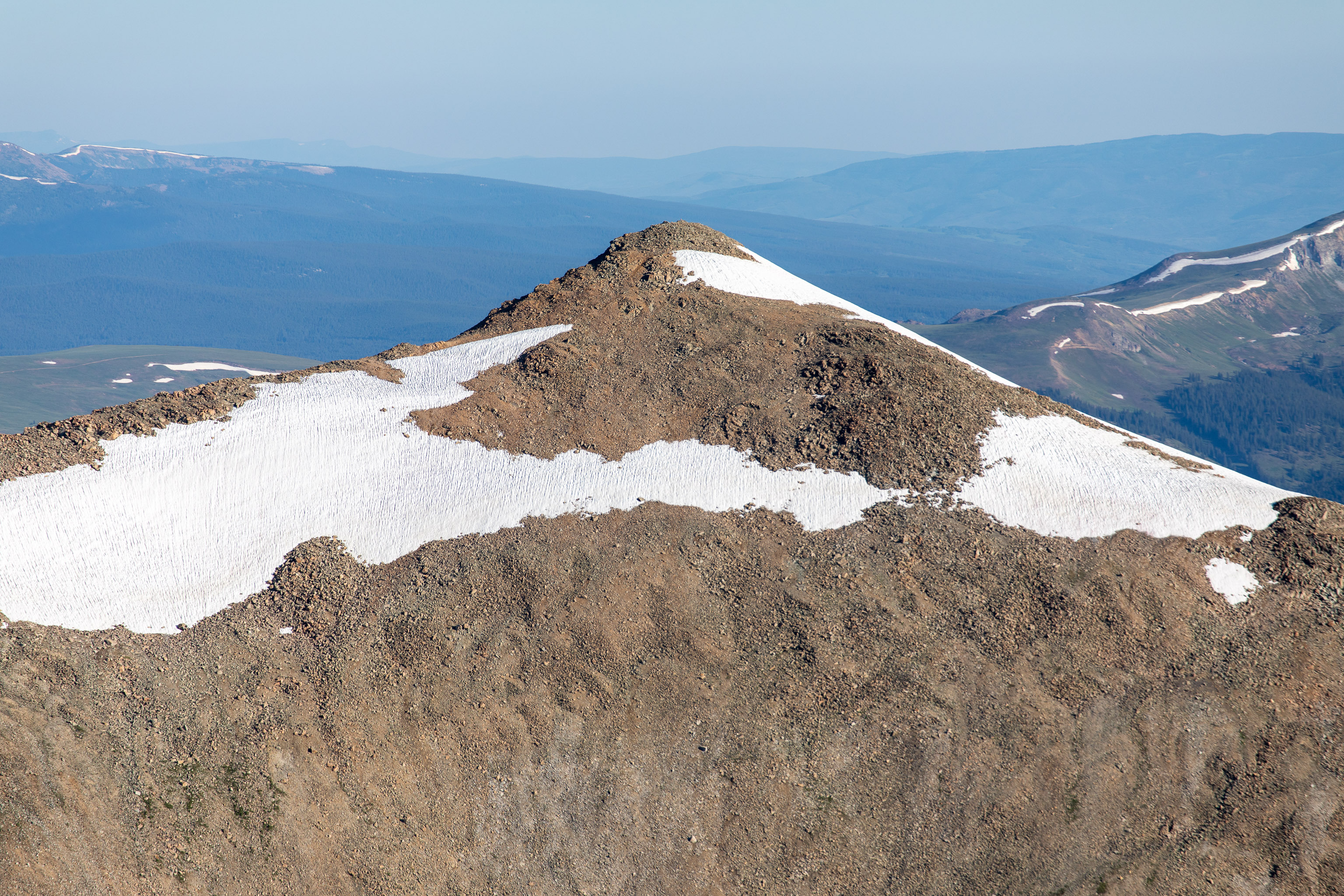
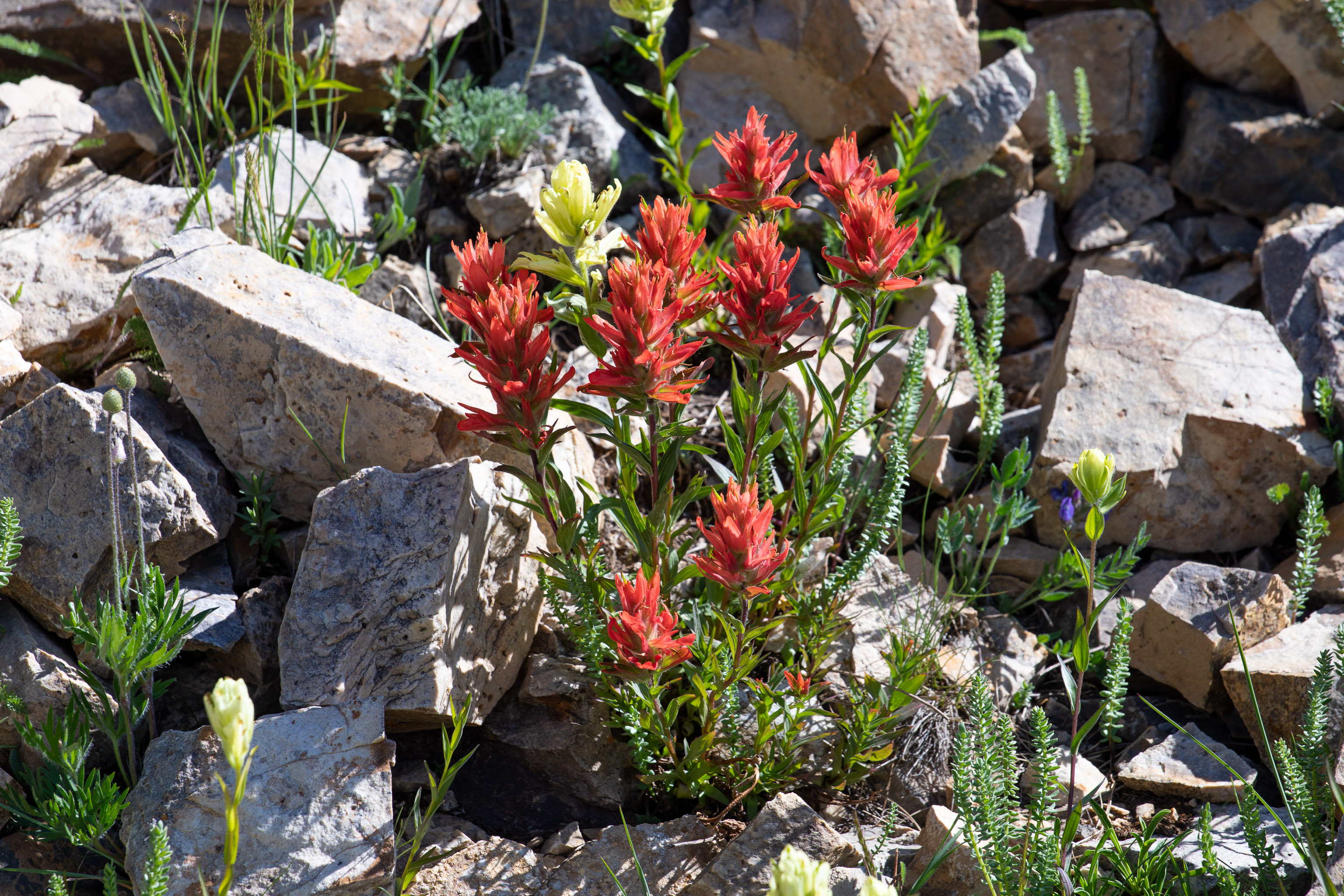
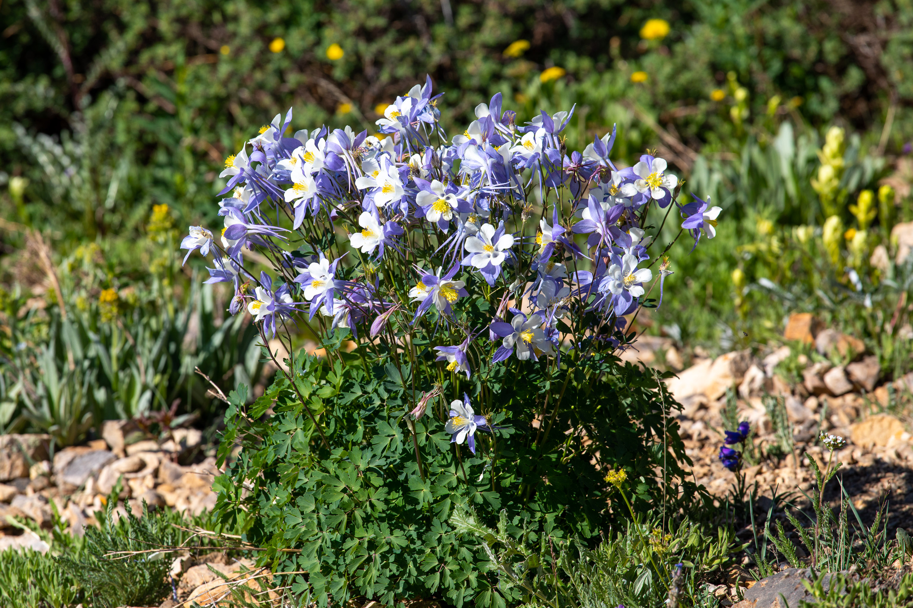
Once up the ridge the actual summit is at the far end of this relatively flat top area. Kind of annoying walking through all the loose rock to get there but the views are worth it.

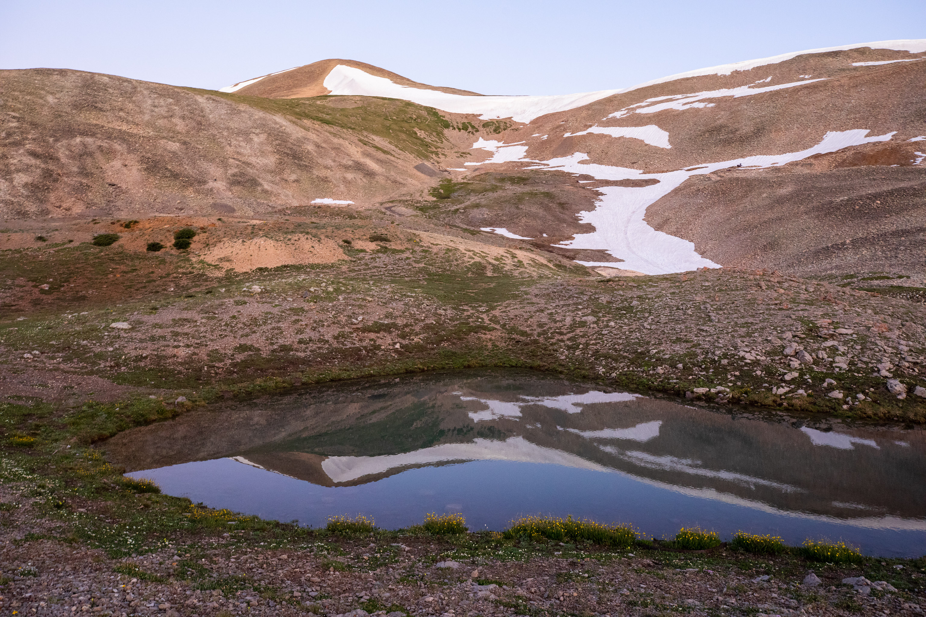
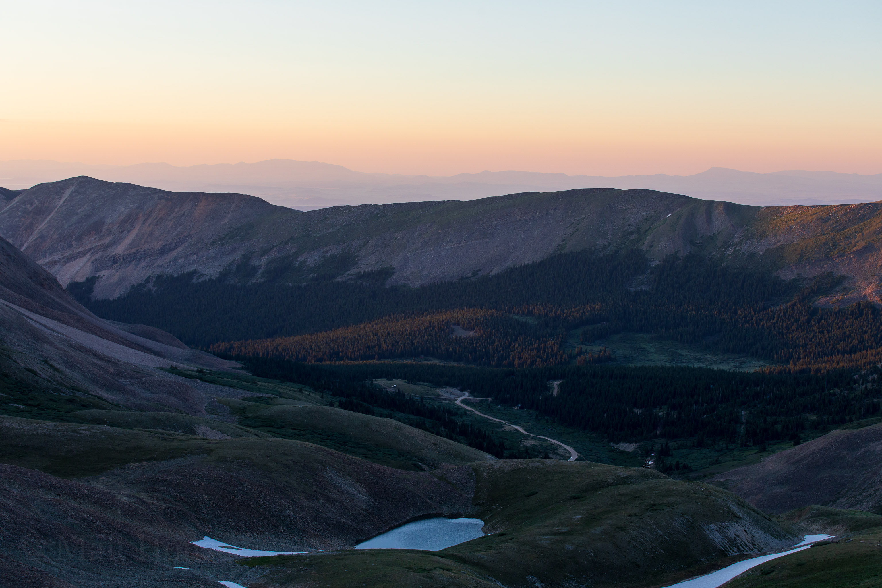
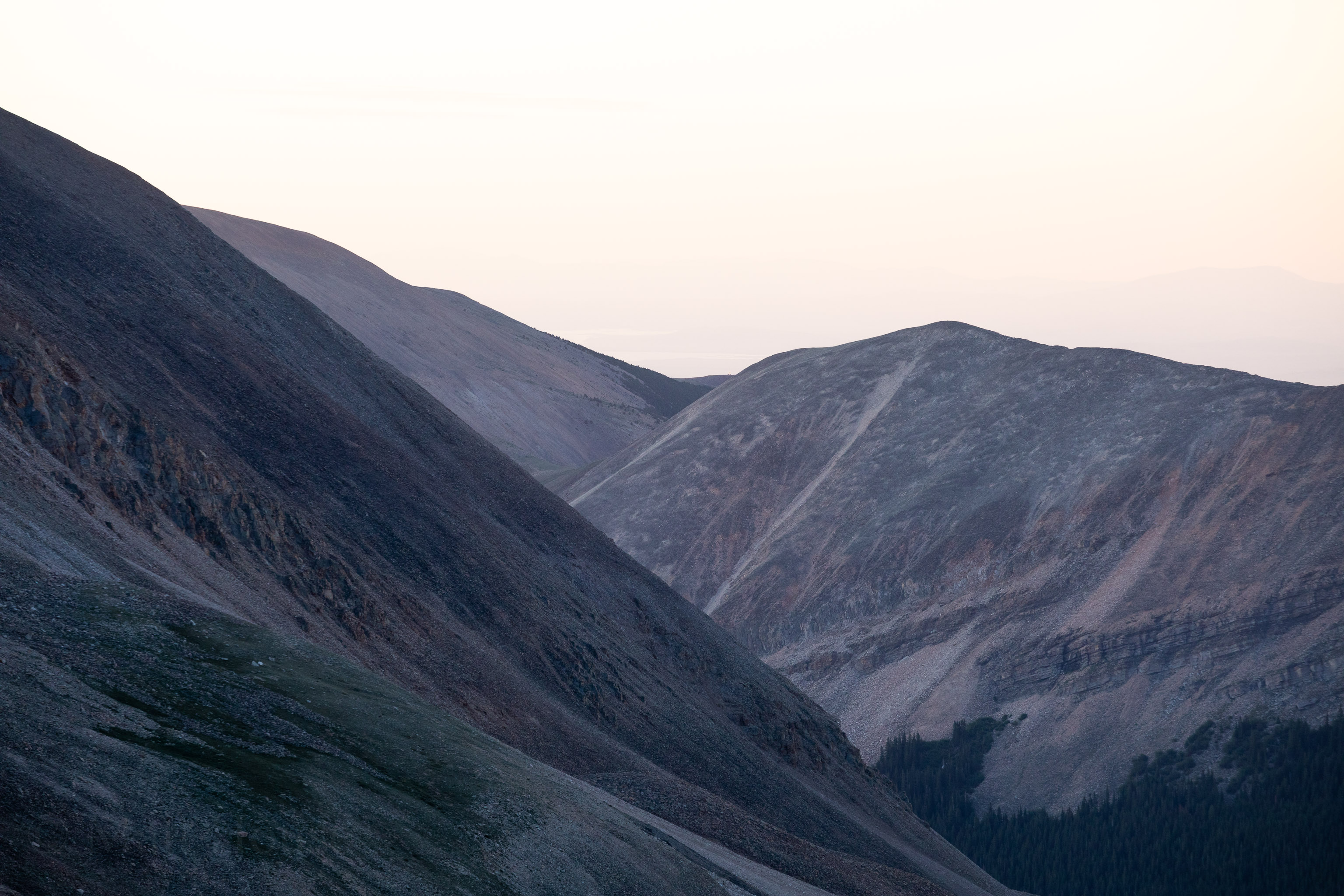
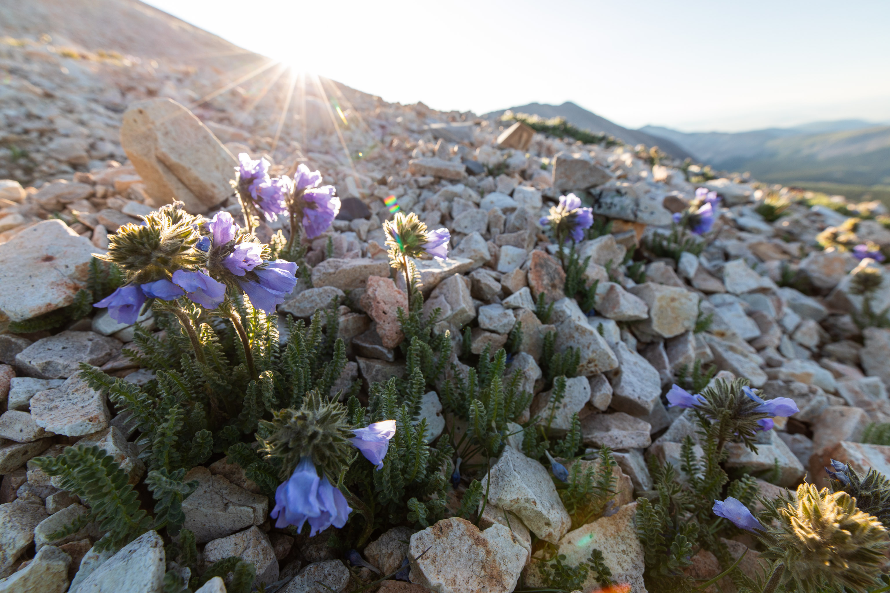
The hike down was uneventful so I don’t have many photos. Midday sun is pretty harsh and I took a ton of photos on the way up. I did grab a few though since we couldn’t see some stuff on the way up in the dark.
Back at the car it was only about 4.9 miles and a little over 2000ft of vert. It took a casual 4 hours round trip. Now for the several hour drive home. Not bad for a quick 24 hours round trip from Boulder.